Catalog Archive
Auction 131, Lot 313

"Map of the Hawaiian Group or Sandwich Islands by the U.S. Ex. Ex.", Wilkes, Charles
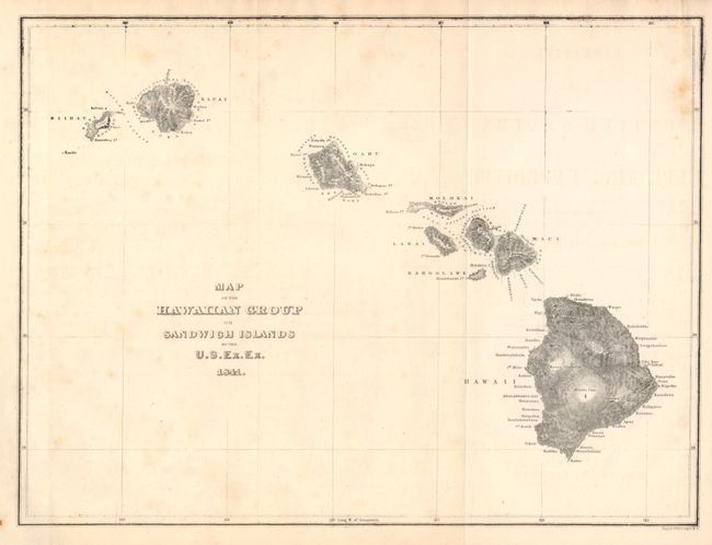
Subject: Hawaii

Period: 1841 (dated)

Publication: U.S. Exploring Expedition

Color: Black & White

Size:
11.3 x 8.5 inches
28.7 x 21.6 cm
Download High Resolution Image
(or just click on image to launch the Zoom viewer)

A large scale scientific investigation of the Hawaiian Islands began with the visit of naval commander Chares Wilkes in 1840-41. This map is a marked improvement over previous maps of Hawaii. The coast lines of Maui and Oahu are more accurate (despite a few flaws) and Wilkes managed to convey a vivid image of the mountainous terrain.

References:

Condition: B+

Folded as issued. Some very light foxing and a darker area at extreme upper right corner.

Estimate: $150 - $200

Sold for: $75

Closed on 3/17/2010

Archived