Subject: Florida
Period: 1889 (dated)
Publication:
Color: Printed Color
Size:
16 x 22 inches
40.6 x 55.9 cm
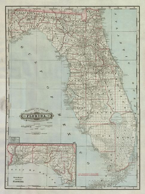
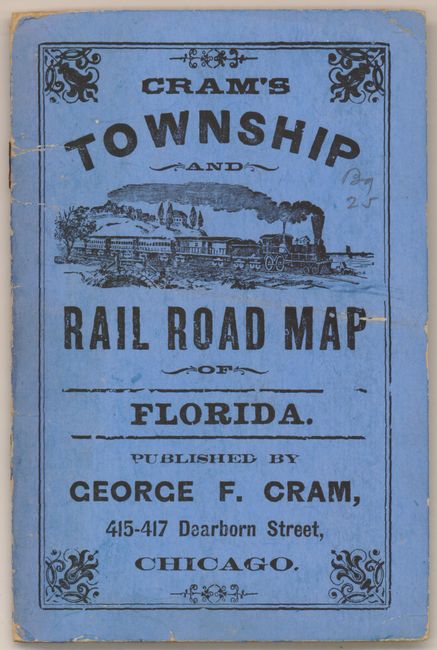
This pocket map edition has the decorative cartouche with Victorian-style titling and attractive graphic elements. The Florida Keys are on the main map as far as Key West. The large inset "North-Western Portion of Florida" shows the panhandle on the same scale. The railroads are well shown, named and extend as far south as Punta Gorda and fully across the panhandle. Finely engraved with full ruling in the oceans. Blank verso. Folds into blue pictorial covers with a smoking locomotive and titled "Cram's Township and Rail Road Map of Florida." The 12 page booklet attaches to the covers and is an "Index to the State of Florida" that includes a two page advertisement for Cram's Standard American Atlas of the World. An exceptional example.
References:
Condition: A
A little discoloration in left margin where attached to cover, otherwise map and cover are flawless.