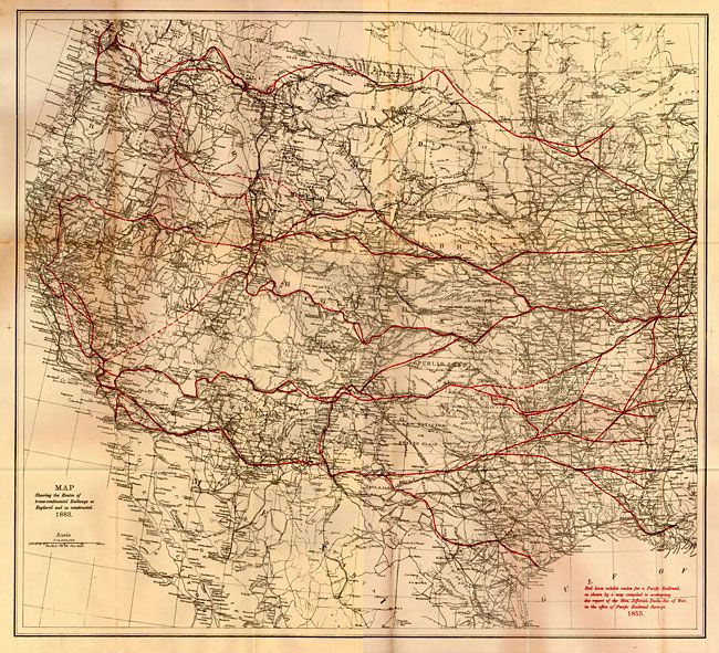
Subject: Western United States
Period: 1883 (dated)
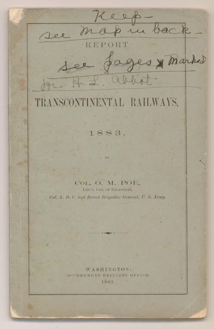
Publication: Report on Transcontinental Railways…
Color: Printed Color
Size:
25 x 23 inches
63.5 x 58.4 cm
A very detailed map of the western two-thirds of the United States that shows the actual route of the Pacific Railroad "as explored and as constructed" in 1883. Filled with detail, it extends from the Mississippi River to the Pacific coast and shows an extensive railroad network. Red overprinting displays the route according to the survey presented to then Secretary of War, Jefferson Davis in 1855 as described in a note printed in red at lower right. The map shows very little deviation from the original surveys, thus validating the courageous efforts of the U.S. Army officers and soldiers who were given this monumental task. This map is bound in the original "Report on Transcontinental Railways, 1883 by Col. O.M. Poe, Lieut. Col. of Engineers, Col. A.D.C. and Brevet Brigadier-General, U.S. Army."
References:
Condition: B+
Map image is very good but with some fold intersection splits and a few light spots in one corner. Contents are clean with occasional "X" marked beside a paragraph. Covers and first end pages with a little foxing. Cover a little worn with chip at right lower corner and top of spine at front. Ink notations on cover encroach into title.