Catalog Archive
Auction 131, Lot 24

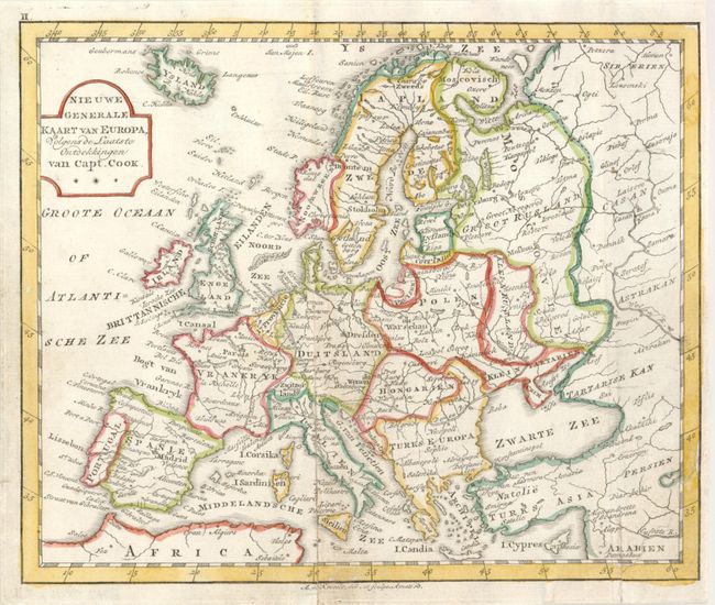
"[Lot of 5] Universele of Waereld-Kaart… [and] Nieuwe Generale Kaart van Amerika… [and]Nieuwe Generale Kaart van Afrika… [and] Nieuwe Generale Kaart van Asia… [and]Nieuwe Generale Kaart van Europa…", Elwe, Jan Barend

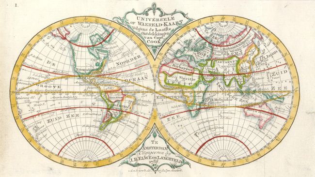
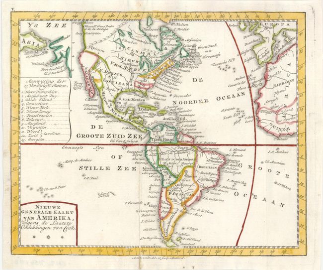
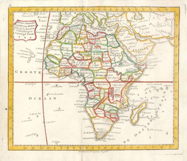
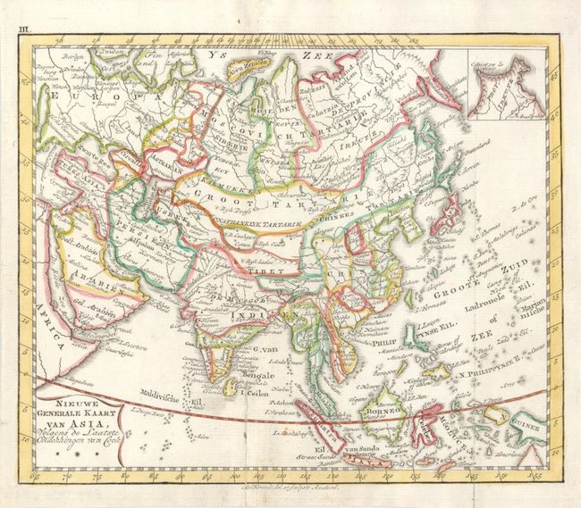
Subject: World & Continents

Period: 1790 (circa)

Publication:

Color: Hand Color

Size:
See Description
Download High Resolution Image
(or just click on image to launch the Zoom viewer)

Nice set of maps that focus on the voyages and discoveries of Captain Cook. The world map shows both islands of New Zealand and the eastern coast of Australia, although Tasmania is still attached to the mainland. The American map includes an inset of Alaska and the northeast coast of Asia. It also names thirteen states within the United States. The map of Asia presents an fairly accurate picture of the many island groups in the Pacific and South China Sea. An inset shows the Chukotskiy Peninsula. The map of Africa is also quite up-to-date with a correct origin for the Nile. The map of Europe shows the political divisions, rivers and major cities. The world map measures 8.2 x 5" and the continent maps are 8.5 x 7".

References:

Condition: B+

There are a couple repaired folds.

Estimate: $550 - $650

Sold for: $550

Closed on 3/17/2010

Archived