Catalog Archive
Auction 131, Lot 187

"[Partie de l'Amerique Septentrionale… - 2nd Sheet]", Bonne/Lattre

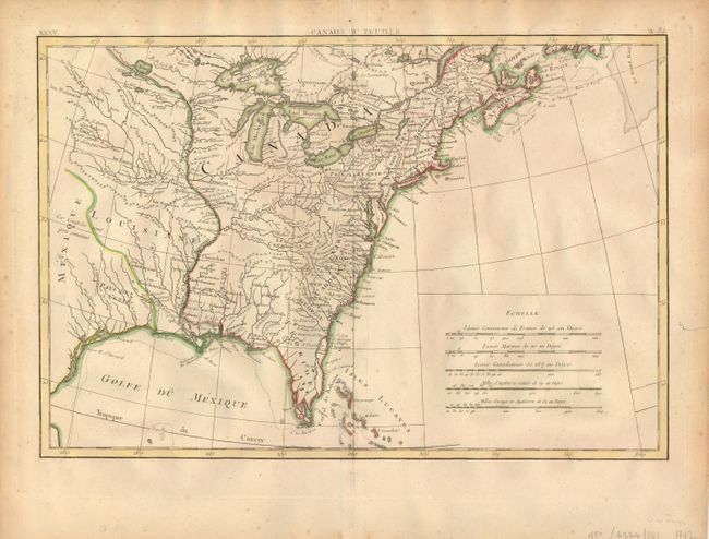
Subject: Colonial United States

Period: 1773 (circa)

Publication: Atlas Moderne

Color: Hand Color

Size:
17 x 11.5 inches
43.2 x 29.2 cm
Download High Resolution Image
(or just click on image to launch the Zoom viewer)

This map covers the eastern part of what is now the United States. French Louisiane is sandwiched between Mexique and the Mississippi River and the British Colonies take in all the region east of the Mississippi. Texas is labeled Pars des Cenis. Many early place names, forts and Indian villages are identified. There is an early mention of les Kansez in the area of Kansas City. This is the bottom sheet of a two part map. It has its own borders and stands completely on its own. Canada IIe Feuille is in the top margin.

References: McCorkle #771.2.

Condition: B+

Nice original color with just a hint of foxing.

Estimate: $300 - $375

Sold for: $250

Closed on 3/17/2010

Archived