Subject: Canada & United States
Period: 1887 (dated)
Publication:
Color: Printed Color
Size:
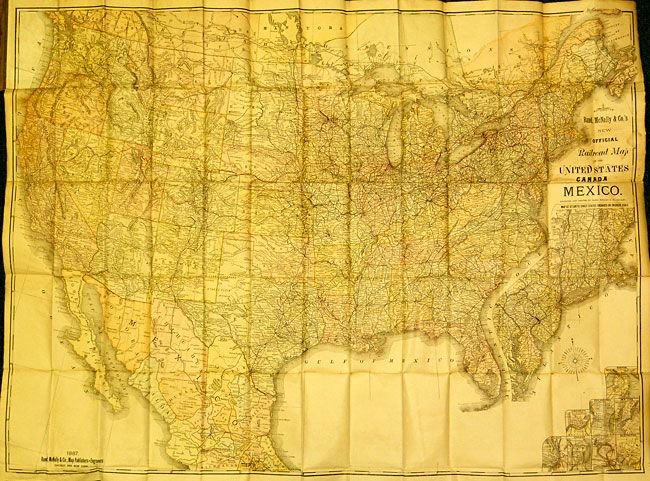
42 x 27 inches
106.7 x 68.6 cm
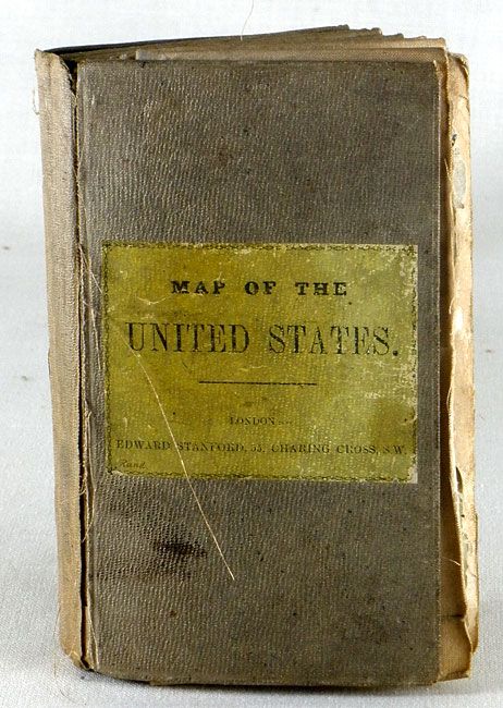
This early Rand McNally pocket map is linen-backed and folds into tan cloth boards with a yellow paper title label. This very large, colorful map features terrific railroad detail along with wagon roads, watershed, cities and villages, and much more. It includes an inset, "Map of Atlantic Coast States Engraved on a Large Scale," plus individual city plans of Boston, Cincinnati, New York, Philadelphia, St. Louis, Chicago, Buffalo & Niagara Falls, and Washington. This is a seldom seen map, much more so in linen backed pocket map format, that was issued from London by Edward Stanford, 55 Caring Cross, London. Original paper labels on front cover including inside label advertising "Stanford's London Atlas of Universal Geography," folio edition. The Modelski reference is a similar map with nearly identical title, issued six years later.
References: cf Modelski 66.
Condition: B+
The map has some wear on a few folds and some fold intersection splits as you would expect as the map is not segmented. Covers are soiled and sunned with frayed cloth at spine.