Catalog Archive
Auction 130, Lot 719
"La Partie Orientale de l'Asie ou se Trouvent le Grand Empire des Tartares Chinois et Celuy du Iapon", Fer, Nicolas de
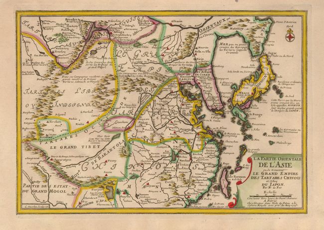
Subject: China, Korea & Japan
Period: 1705 (dated)
Publication:
Color: Hand Color
Size:
13 x 9 inches
33 x 22.9 cm
Download High Resolution Image
(or just click on image to launch the Zoom viewer)
(or just click on image to launch the Zoom viewer)