Catalog Archive
Auction 130, Lot 275
"Carte de la Baye de Baston Situee dans la Nouvelle Angleterre", Bellin, Jacques Nicolas
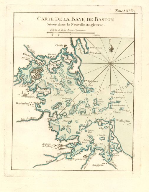
Subject: Boston, Massachusetts
Period: 1764 (circa)
Publication: Le Petit Maritime Atlas
Color: Hand Color
Size:
6.5 x 8.5 inches
16.5 x 21.6 cm
Download High Resolution Image
(or just click on image to launch the Zoom viewer)
(or just click on image to launch the Zoom viewer)