Subject: School Atlases
Period: 1825 (circa)
Publication:
Color: Hand Color
Size:
6.3 x 9.5 inches
16 x 24.1 cm
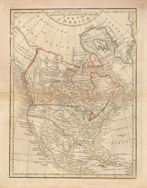
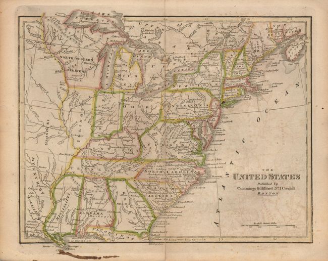
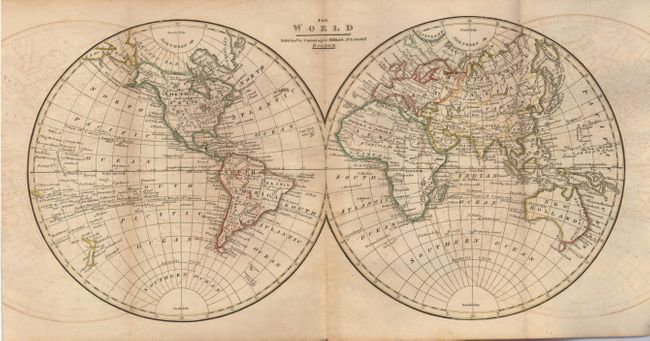
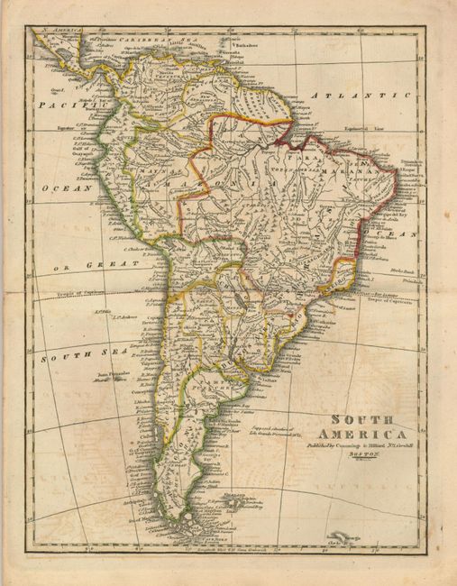
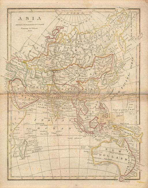
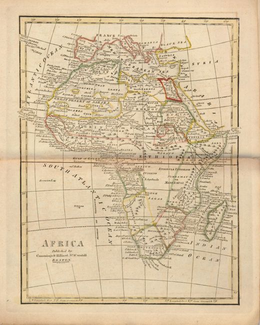
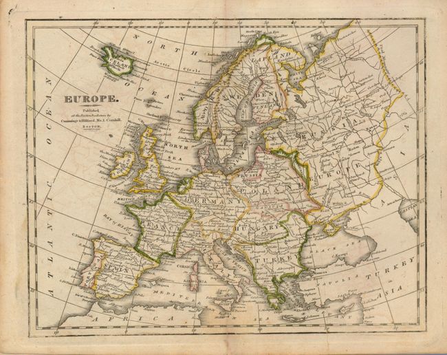
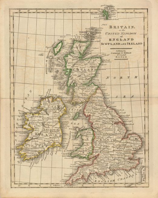
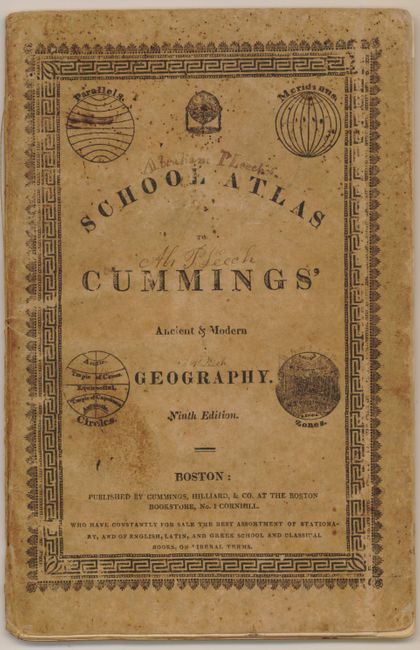
This Ninth Edition is complete with eight double-page maps of the world, continents, the United States, and England & Scotland. This early geography contains a nice map of North America that shows the United States incorporating the Louisiana Purchase and extending to the Pacific with roughly a straight northern boundary. The map of the United States depicts the states and territories up to the Mississippi River with Missouri, Arkansaw and Louisiana marked on the frontier. Original stiff paper covers.
References:
Condition: B
Covers dirty with an ink signature of a previous owner on the front cover. The maps have some light offsetting and toning and there is an ink smudge in bottom margin of the US map.