Subject: Atlases
Period: 1866 (dated)
Publication:
Color: Hand Color
Size:
13 x 16 inches
33 x 40.6 cm
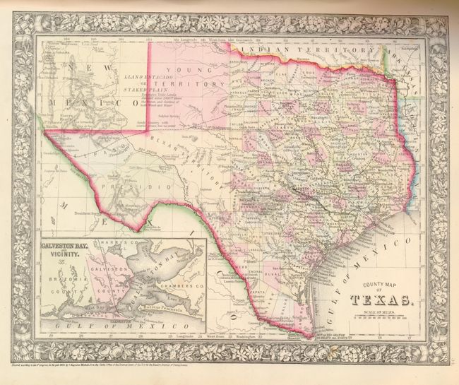
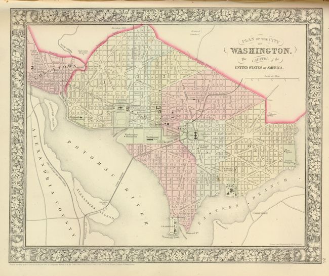
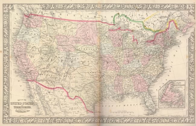
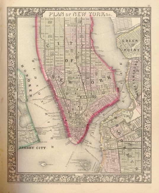
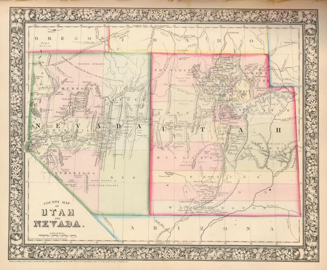
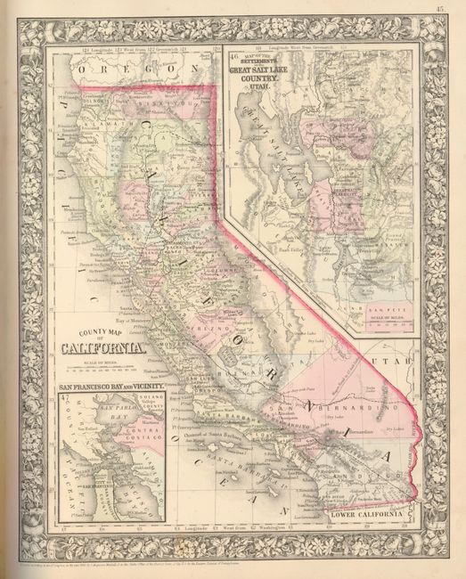
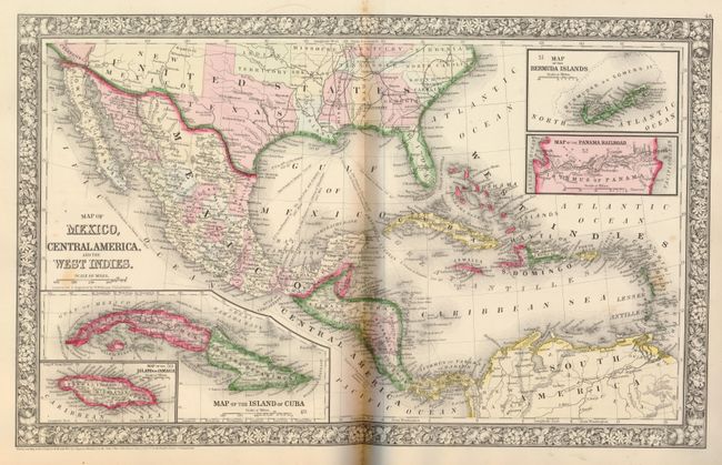
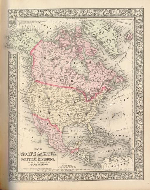
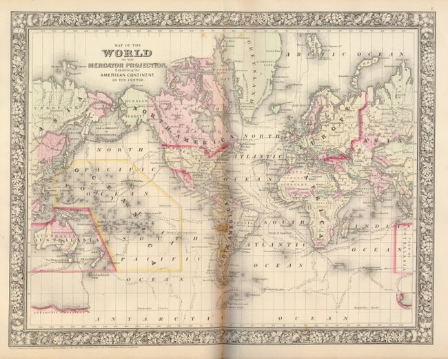
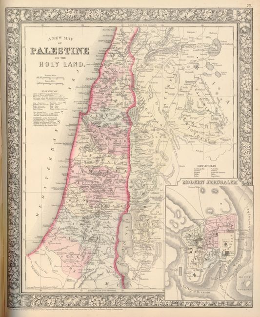
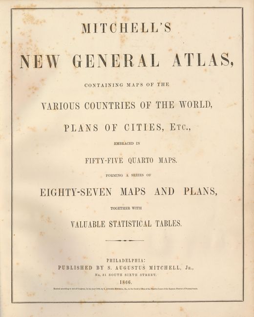
This is a great example of Mitchell's atlas that is complete with 91 maps and plans on 64 sheets, each surrounded by Mitchell's signature floral border. Thirty-three of the sheets are related to the United States with 44 individual states, regions and city plans. There are two world maps, one hemispheric and the other on Mercator's Projection. A very fine example of the Texas map with great hand coloring and nice impression. This edition depicts the Territory of Arizona owning the southern tip of Nevada, and Wyoming is labeled Attached to Dacotah, but here is not named Wyoming as in the later edition of the 1866 atlas. Some of maps are dated 1860 as in the first edition, the balance are dated 1865. Small folio, publisher's quarter morocco with stamped gilt title on front cover. Title page, List of Maps, maps and plans, List of Post Offices in the United States, Table of Population, Governments. &C., Table of Distances, Mountains of the World, and Rivers of the World. All pages including endpapers are present and maps are correctly collated. A nice example of this historical and desirable atlas filled with decorative maps and plans.
References:
Condition: A
The maps are all fine impressions with original hand coloring. The first and last few pages show light scattered foxing, and an occasional spot in the first few maps. The vast majority of the maps are fine with no flaws. This complete atlas is 100% original. Covers rubbed along spine and corners, but are sound and signatures are tight.