Subject: Atlases - North America
Period: 1827 (published)
Publication:
Color: Hand Color
Size:
16 x 22.5 inches
40.6 x 57.2 cm
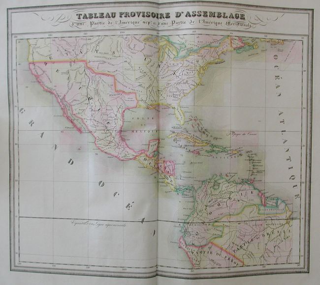
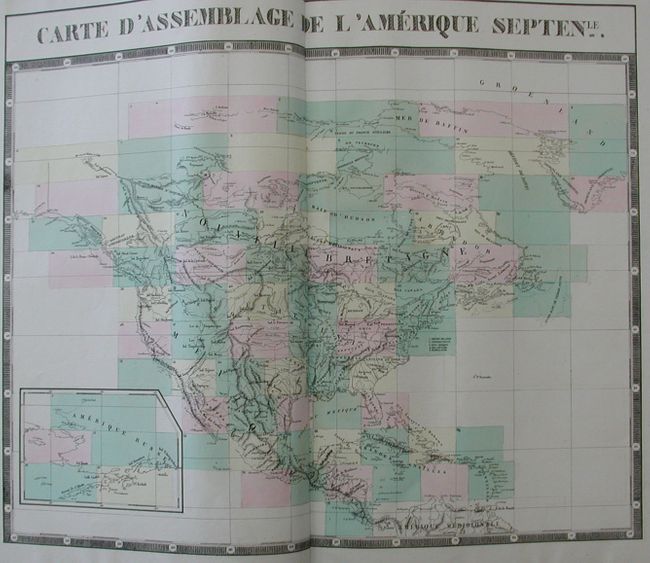
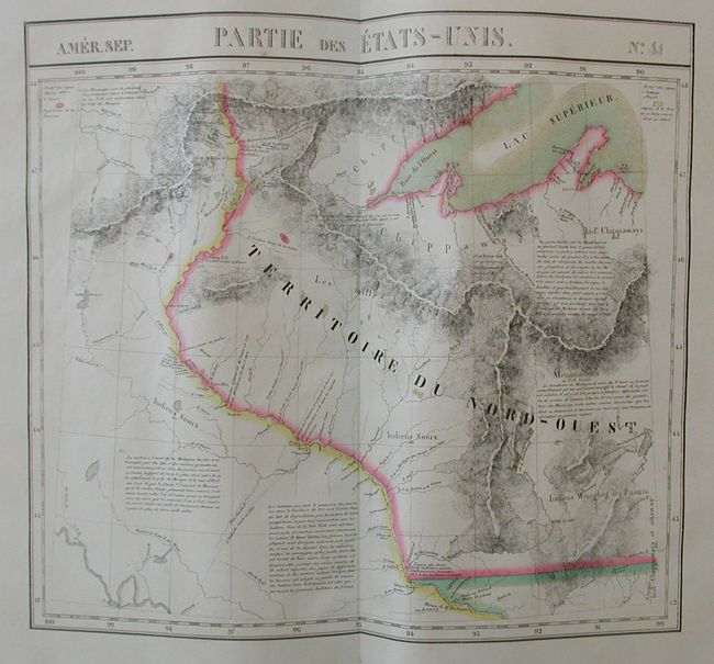
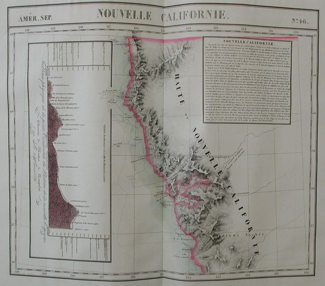
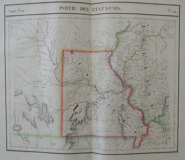
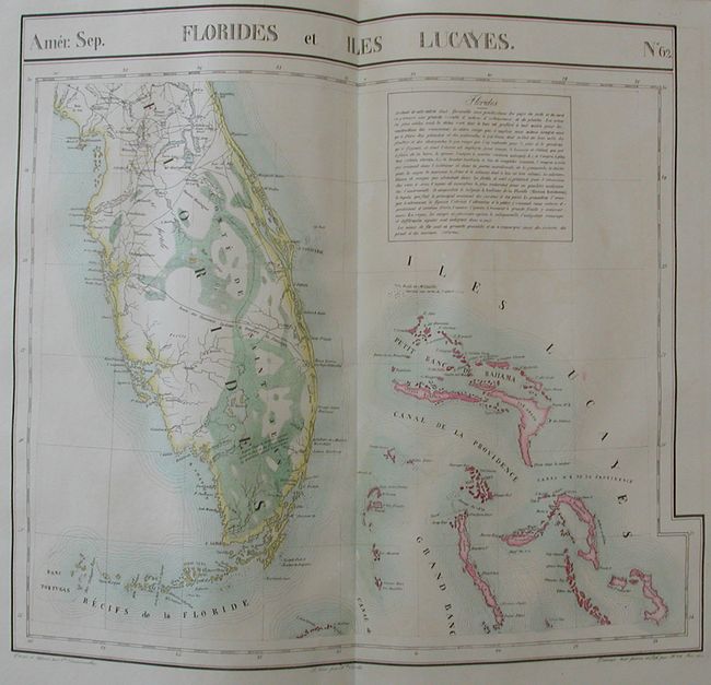
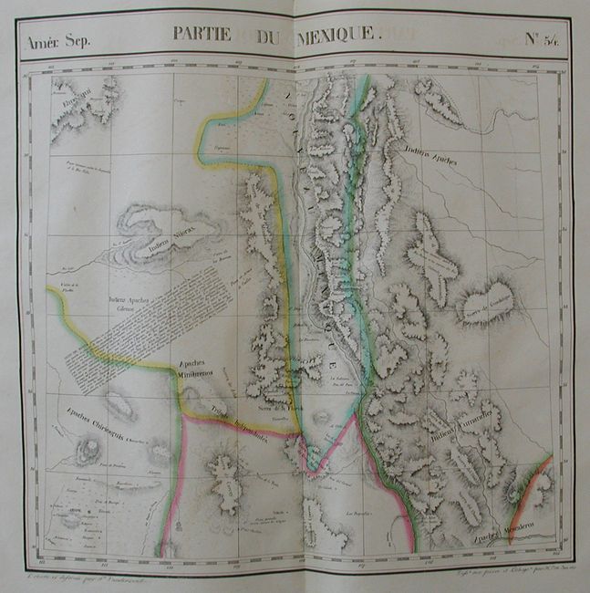
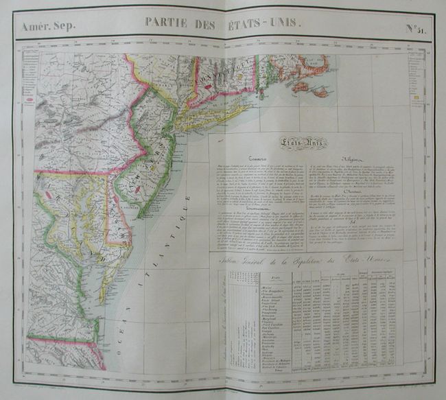
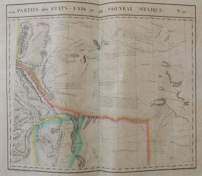
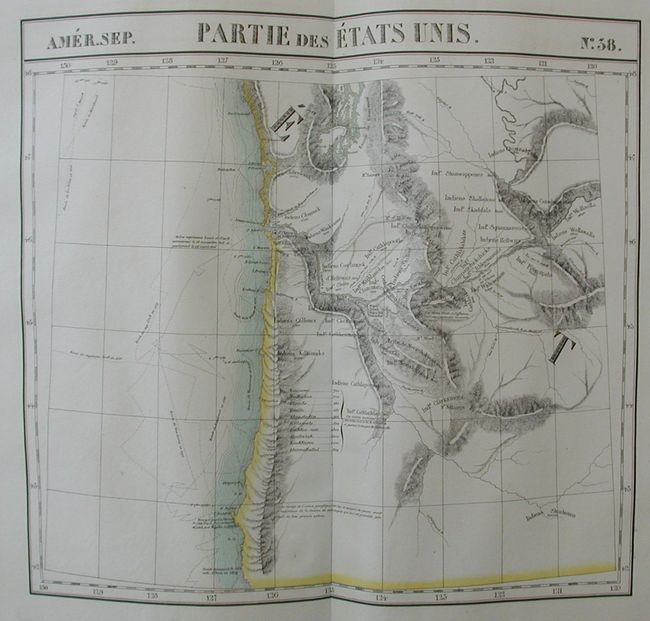
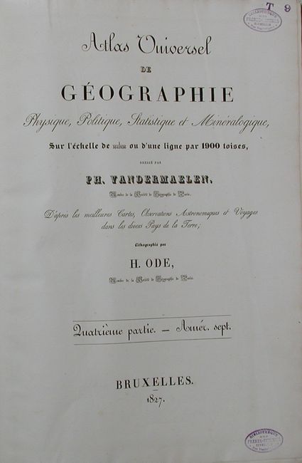
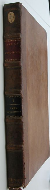
This is a complete and overall fine example of Vandermaelen's North American volume (Fourth of Six). Each large folio map is double-page and measures approximately 25" x 20". The first is the index map, "Carte D’Assemblage de L’Americque Septentle." that shows the extent of every map within North America and Central America with the map number. The next is the stunning "Tableau Provinsiore d'Assemblage…," which is a detailed map of North America extending from southern Canada, through Central America and south to beyond the basin of the Amazon River. The next 77 maps are numbered No. 1 though 76 and show remarkable detail of each region. There are two maps numbered 57, the second is 57 (bis). The complete atlas contains 79 charts, each surrounded by a bold keyboard-style border. Bound in original brown speckled boards with half brown calf on tip and spine with raised ribs. Original red and black leather labels on spine with gilt title and volume information. Two title pages. The second credits the lithography to H. Ode of Paris.
Vandermaelen was the son of a wealthy industrialist who abandoned his father's business to follow a career in cartography. His goal was to produce the first atlas ever published in which every map was drawn on the same projection and to the same scale (1: 1,641,836), with each map covering an area of approximately 20 degrees of longitude (from Paris) and 6 degrees of latitude. Because of the consistent scale and projection, the maps could be joined together to form a huge globe that would measure over 25 feet in diameter. Vandermaelen had the only known globe constructed from his maps, requiring a special room for its display. It was also the first lithographic atlas ever published. There was one edition of the atlas, published in 1825-27, and the subscription list shows that only 810 copies were sold. A rare and remarkable atlas, complete in all regards, that should be in any serious atlas collection.
References: Phillips (A) No. 749; Wheat (TMW) #378.
Condition: A
Covers are straight, but with a little wear to spine and a small piece of leather at bottom lifted. The maps are extraordinary with original outline color and most in fine condition. Maps No. 9 and No. 48 show overall light foxing. Inside front cover is a small but elegant book plate and at bottom the bookbinder's small paper label "B. Stenvers." Library stamp on second title page is from "Bibliotheques des Freres - Mineures." This library is officially closed and its collection was sold through a Brussels auction company.