Catalog Archive
Auction 129, Lot 708

"Tab. IV. Asiae, in qua Mesopotamia, Syria, Arabia Petrea, ac Deserta", Ptolemy/Mercator

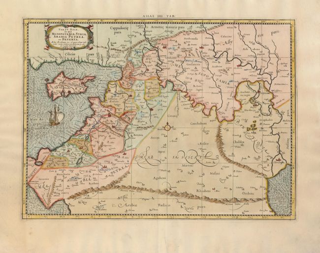
Subject: Middle East

Period: 1730 (published)

Publication: Claudii Ptolemaei's Atlas Tabulae geographicae Orbis Terrarum

Color: Hand Color

Size:
18 x 13.2 inches
45.7 x 33.5 cm
Download High Resolution Image
(or just click on image to launch the Zoom viewer)

Great Ptolemaic map of the region between the Mediterranean Sea and Persian Gulf. A ship sails just below Cyprus and the map is decorated with a strapwork title cartouche. Mercator originally published this map in his 1578 edition of Ptolemy's great Geography. Although he is most renowned today for the projection he popularized and for first using the term Atlas for a collection of maps, he devoted much of his life to his Ptolemaic maps.

References: Mickwitz & Miekkavaara (Nordenskiold) #235-10.

Condition: B

There are some old blue ink notations within the map.

Estimate: $160 - $200

Sold for: $120

Closed on 9/23/2009

Archived