Catalog Archive
Auction 129, Lot 467
"A Compleat Map of the British Isles, or Great Britain and Ireland with their Respective Roads and Divisions", Sayer, Robert
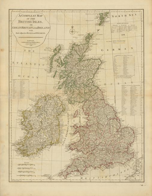
Subject: Britain
Period: 1788 (dated)
Publication:
Color: Hand Color
Size:
18.8 x 23.8 inches
47.8 x 60.5 cm
Download High Resolution Image
(or just click on image to launch the Zoom viewer)
(or just click on image to launch the Zoom viewer)