Catalog Archive
Auction 129, Lot 382

"Les Isles de l'Amerique Connues Sous le Nom d'Antilles, ou sont les Isles de Cuba, St. Domingue et Jamaique les Lucayes, les Caribes, et celles du Vent", Fer, Nicolas de
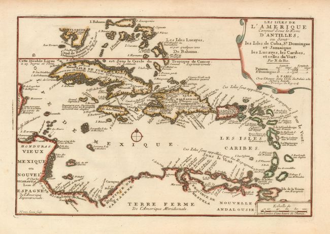
Subject: Caribbean

Period: 1705 (dated)

Publication: Atlas Curieux

Color: Hand Color

Size:
13.2 x 8.8 inches
33.5 x 22.4 cm
Download High Resolution Image
(or just click on image to launch the Zoom viewer)

There are a number of interesting historical and geographical notes on this map of the Caribbean. The map extends north to the Bahamas and the tip of southern Florida and encompasses the eastern shore of the Yucatan, parts of Central America, Panama and the northwest coast of South America. Between Florida and Cuba and the Bahamas, a reference to the Gulf Stream notes that is always flows north. Engraved by Herman van Loon with a handsome title cartouche and a small central compass rose.

References:

Condition: A

Faint damp stain in blank margins, well away from the map.

Estimate: $350 - $425

Unsold

Closed on 9/23/2009

Archived