Subject: Western United States - Texas & Oklahoma
Period: 1853 (dated)
Publication: Quarto School Geography
Color: Hand Color
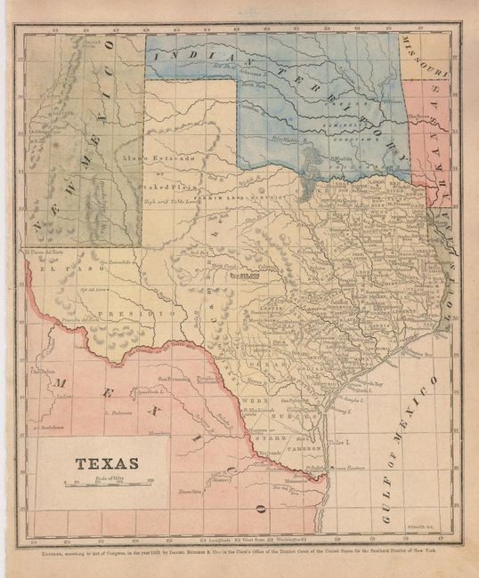
1) Detailed map of Texas and the surrounding region filled with place names and the locations of eight forts. County development is limited to the eastern third of the state. The Fann Land District is shown west of Cooke County and below the Llano Estacado with no defined boundaries. Locates and names Native American tribes in Indian Territory. The population of Texas is given at 213,000. (8.8 x 10.2")
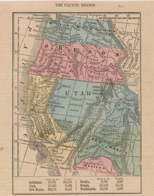
2) This small part-page map features the area "Mesilla" south of the Gila River. Washington, Oregon, Utah extend to the Rocky Mountains. New Mexico stretches from California to beyond the Anahuac Mountains. The map is trimmed from a full page of text. (4.8 x 6")
References:
Condition: A
1. Near fine with just a small area of soiling in lower right margin. 2. One small spot in California, else fine.