Catalog Archive
Auction 127, Lot 495

"Magnae Prussiae Ducatus Tabula…", Visscher, Nicolas
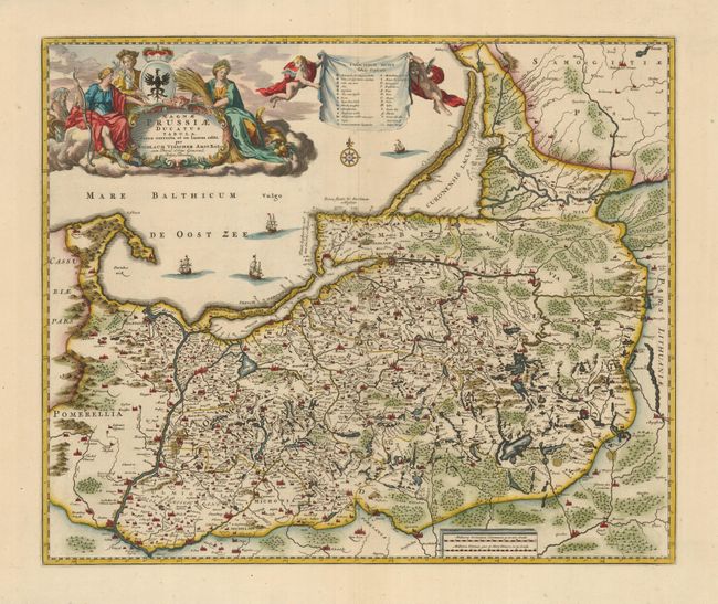
Subject: Baltic

Period: 1680 (circa)

Publication:

Color: Hand Color

Size:
21 x 17.2 inches
53.3 x 43.7 cm
Download High Resolution Image
(or just click on image to launch the Zoom viewer)

This is a superb map of the Prussian Empire, which includes present-day Poland, Lithuania and the Russian enclave of Kaliningrad (here Konigsperg). The map is beautifully engraved to illustrate the many lakes, rivers and forests. The elaborate title cartouche and map key fills nearly the entire sea and is surrounded with allegorical figures, a coat of arms, and putti. Sailing ships and a compass rose further embellish the chart.

References:

Condition: A+

Estimate: $500 - $600

Sold for: $375

Closed on 2/25/2009

Archived