Catalog Archive
Auction 127, Lot 394

"A Correct Chart of the Caribbee Islands", Mount & Page

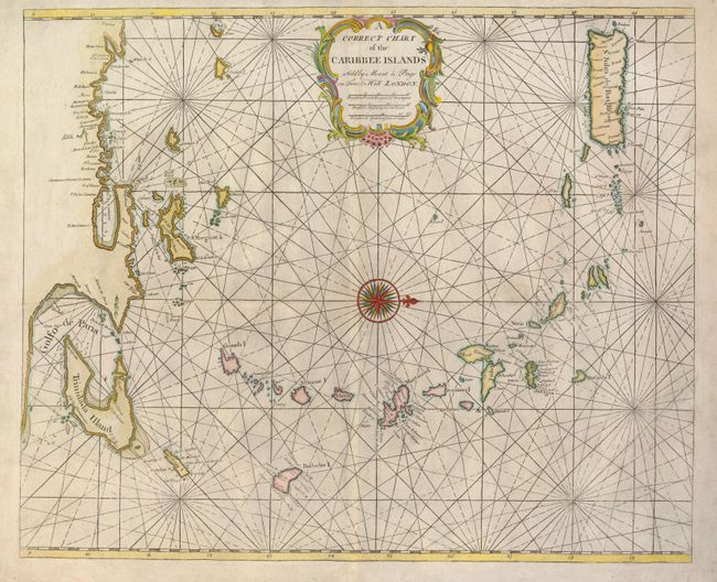
Subject: Lesser Antilles

Period: 1758 (circa)

Publication: English Pilot

Color: Hand Color

Size:
20.5 x 16.8 inches
52.1 x 42.7 cm
Download High Resolution Image
(or just click on image to launch the Zoom viewer)

This striking sea chart covers islands from Trinidad and the Venezuelan coastline to Puerto Rico. The central compass rose orients the map with west at the top. There is not a great deal of detail, but major anchorages and shoals are noted. The prominent rhumb lines and decorative title cartouche make this a handsome chart.

References:

Condition: B+

The map has been folded horizontally and there is a tissue reinforcement on one of the folds and along one of the engraved lines on the verso. There is a little printer's ink residue in the map, otherwise very good.

Estimate: $1,000 - $1,200

Unsold

Closed on 2/25/2009

Archived