Catalog Archive
Auction 127, Lot 159

"[Lot of 2] Northern Ports & Harbours in the United States [and] Southern Ports & Harbours in the United States", Fullarton, Archibald & Co.

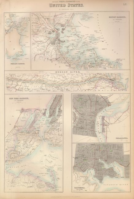
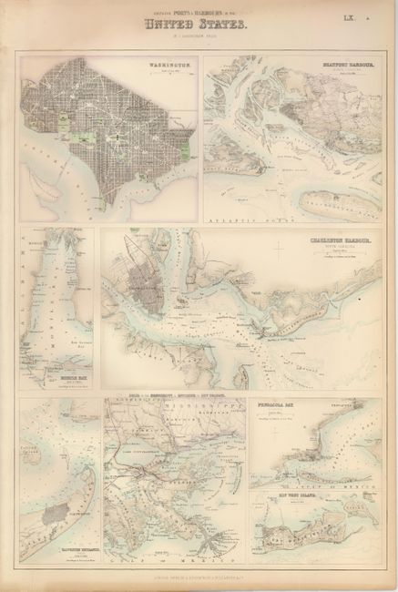
Subject: Eastern United States

Period: 1860 (circa)

Publication: The Royal Illustrated Atlas

Color: Hand Color

Size:
11.8 x 17 inches
30 x 43.2 cm
Download High Resolution Image
(or just click on image to launch the Zoom viewer)

Two matched sheets from Fullarton's large atlas, each with several finely engraved plans of towns and harbors. The first sheet has six maps: Portland Harbour, Boston Harbour, Hudson River, New York Harbour and Vicinity, Philadelphia, and Baltimore. The nine maps on the second sheet are: Washington (D.C.), Beaufort Harbour. North Carolina, Mobile Bay, Charleston Harbour. South Carolina, Galveston Entrance. Texas, Delta of the Mississippi & Environs of New Orleans, Key West Island, and Pensacola Bay.

References:

Condition: B+

Very nice pair with fine original hand coloring in a pastel palette. Both with a short, straight tear at lower left corner just into map, closed on verso.

Estimate: $140 - $180

Unsold

Closed on 2/25/2009

Archived