Subject: Atlases
Period: 1859 (dated)
Publication:
Color: Hand Color
Size:
12.5 x 15 inches
31.8 x 38.1 cm
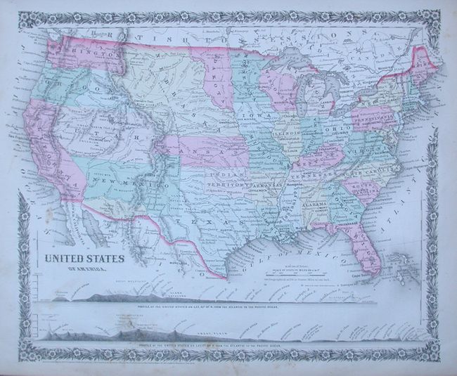
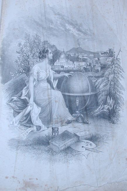
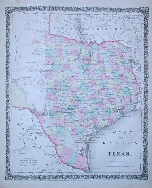
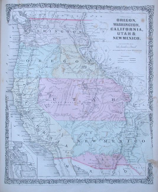
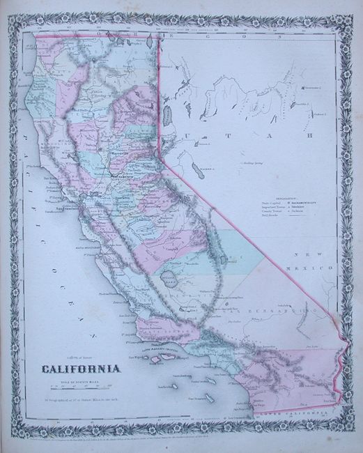
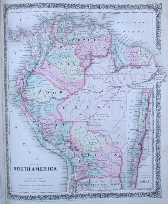
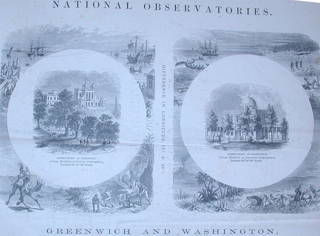
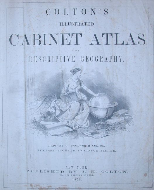
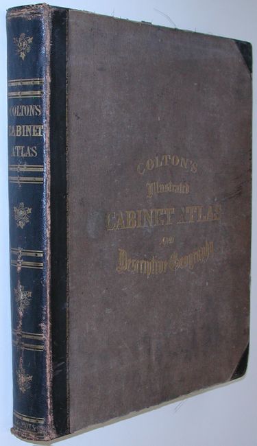
This is a nice and complete example of this increasingly difficult to find atlas. It is filled with some of Colton's most beautifully engraved maps. Each features the delicate floral-style border not seen in any other atlas produced by the Colton family. The frontice is a fine steel engraving showing a beautiful woman with a globe. The maps are by G. Woolworth Colton and the extensive text is by Richard Swainson Fisher. This edtion includes 47 hand colored maps. There are 18 maps related to the United States including the North American maps. Includes fine maps of Texas, California, British America and many more. The map of the United States features early borders and over-sized territories. The map "Oregon, Washington, California, Utah & New Mexico" is after the earlier map of the same area by Mitchell as publihsed by Thomas & Cowperthwaite. Small folio, hardbound in cloth with embossed gilt titling with leather tips and spine. 400pp, frontice, title page, Table of Contents, another title page, List of Maps and Plans, text with wood-engraved vignettes, maps, index. Several of these maps appear in no other publication.
References:
Condition: B+
Maps all B+ to very good with light occasional foxing found mostly in margins, a little more in some text pages. The first few pages are creased and misfolded, foxed and soiled. The frontice engraving has a small amount of loss at lower edge well away from image. Signatures tight. The covers are rubbed and edges are bumped at tips. The map of the western US has scattered foxing.