Catalog Archive
Auction 126, Lot 710
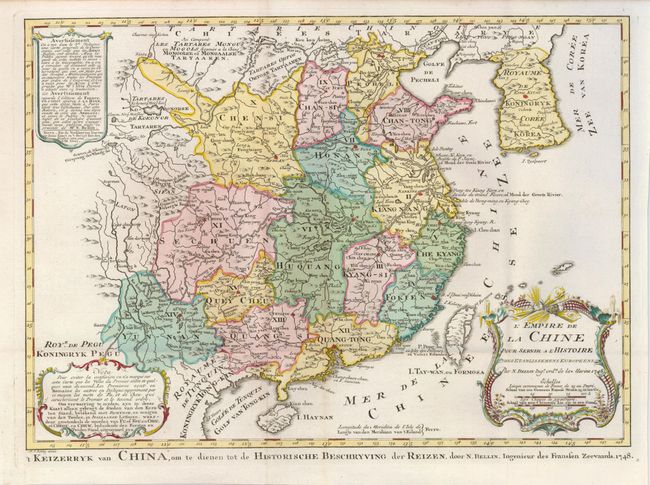
"L'Empire de la Chine pour Servir a l'Histoire des Establissemens Europeens", Bellin/Van Schley

Subject: China and Korea
Period: 1748 (dated)
Publication: Raynals Atlas Portatiff
Color: Hand Color
Size:
15.7 x 11.2 inches
39.9 x 28.4 cm
Download High Resolution Image
(or just click on image to launch the Zoom viewer)
(or just click on image to launch the Zoom viewer)

