Subject: South America - Southern
Period: 1640 (circa)
Publication:
Color: Hand Color
Size:
19.5 x 15 inches
49.5 x 38.1 cm
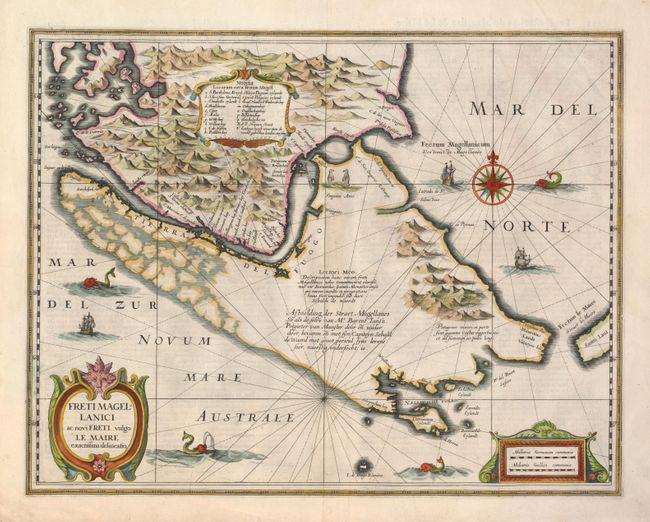
Beautifully decorated map of the tip of South America with the Strait of Magellan and Le Maire Strait. The strategic importance of the place and the difficulties of navigation made this a notable chart, although it is not very accurate. The map graphically depicts the rugged mountainous terrain and the coastlines of Tierra del Fuego are incomplete. Latin notes describe the first Dutch expedition through the strait and a description of giants of vast magnitude said to inhabit the region. The map is richly decorated with a central compass rose, galleons, sea monsters and penguins. French text on verso.
References: Moreland & Bannister p. 255.
Condition: A