Catalog Archive
Auction 125, Lot 466

"Insula Sacra; vulgo Holy Iland; et Farne", Blaeu, Johannes
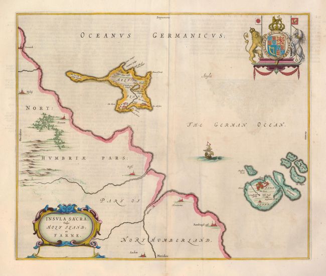
Subject: British Islands

Period: 1662 (circa)

Publication: Atlas Maior

Color: Hand Color

Size:
18.3 x 15.3 inches
46.5 x 38.9 cm
Download High Resolution Image
(or just click on image to launch the Zoom viewer)

This attractive map portrays Holy and Farne Islands off the coast of Northumberland. Farne Island is shown with the Tower in a fortification. On Holy Island, the Old Fort, an abbey, and the King's Bridge are shown. The mainland is devoid of detail except for a few cities and castles. The map is decorated with a strapwork title cartouche and a beautiful rendering of the royal coat of arms. Latin text on verso.

References:

Condition: B+

Fine impression and original color and margins. There is a bit of color offsetting and minor wormholes in bottom blank margin, well away from the map.

Estimate: $230 - $300

Sold for: $140

Closed on 9/24/2008

Archived