Catalog Archive
Auction 125, Lot 466
"Insula Sacra; vulgo Holy Iland; et Farne", Blaeu, Johannes
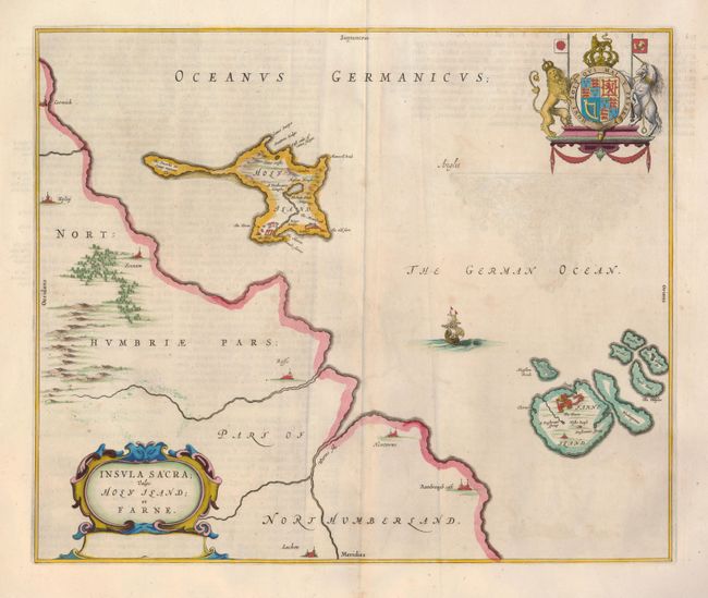
Subject: British Islands
Period: 1662 (circa)
Publication: Atlas Maior
Color: Hand Color
Size:
18.3 x 15.3 inches
46.5 x 38.9 cm
Download High Resolution Image
(or just click on image to launch the Zoom viewer)
(or just click on image to launch the Zoom viewer)