Catalog Archive
Auction 124, Lot 537
"Nouvelle Carte de la Petite Tartarie ou Tarie, Montrant les Frontieres de l'Imperatrice de Russie, et l'Empereur des Turcs, tant en Europe qu'en Asie", Elwe, Jan Barend
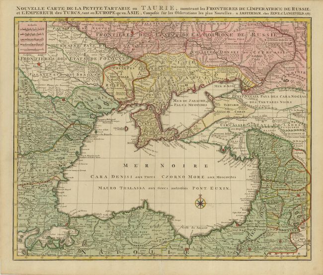
Subject: Black Sea
Period: 1787 (dated)
Publication:
Color: Hand Color
Size:
23.5 x 20 inches
59.7 x 50.8 cm
Download High Resolution Image
(or just click on image to launch the Zoom viewer)
(or just click on image to launch the Zoom viewer)