Catalog Archive
Auction 124, Lot 409
"Kaart van de Grootbrittanische Eilanden, Bevattende de Koningryken Engeland, Schotland en Jerland", Bonne, Rigobert
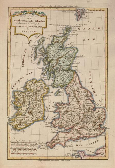
Subject: Britain
Period: 1780 (circa)
Publication:
Color: Hand Color
Size:
8.3 x 12.5 inches
21.1 x 31.8 cm
Download High Resolution Image
(or just click on image to launch the Zoom viewer)
(or just click on image to launch the Zoom viewer)