Catalog Archive
Auction 124, Lot 388

"Carte des Cotes de l'Amerique Meridionale depuis le Parallele 36° 30' Late. Sud jusqu'au Cap de Horn Levee en 1789, 1790 &c.", Depot de la Marine

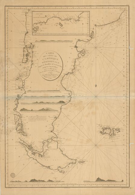
Subject: South America - Southern

Period: 1800 (dated)

Publication:

Color: Black & White

Size:
24.5 x 35.6 inches
62.2 x 90.4 cm
Download High Resolution Image
(or just click on image to launch the Zoom viewer)

An uncommon, large sea chart encompassing the southern tip of South America, including the Falkland Islands. It is inset with a map of the north part of Golfo de San Jorge showing Isla Tova. There are seven coastal views to aid in navigation throughout the map. It is distinguished by Prix Trois Francs at bottom right with the seal of the Depot de la Marine in the lower left of the map, and an embossed stamp of the Dezauche printers in Paris in the top of the map.

References:

Condition: B

A good impression with some spots of irregular toning in the map. There is some old mildew, tears and worm tracks in the margins, with some just touching the border.

Estimate: $300 - $400

Sold for: $220

Closed on 5/7/2008

Archived