Catalog Archive
Auction 124, Lot 367

"America Meridionale divisa ne' suoi principali Stati", Zatta, Antonio

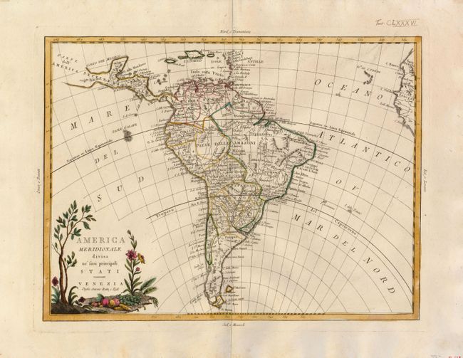
Subject: South America

Period: 1776 (circa)

Publication: Atlante Novissimo

Color: Hand Color

Size:
16 x 12 inches
40.6 x 30.5 cm
Download High Resolution Image
(or just click on image to launch the Zoom viewer)

This attractive map shows all of the continent in Zatta's beautiful style that exemplifies his fine engraving. The map extends to include part of Central America and south to show all of Patagonia and the Straits of Magellan. The title cartouche rests in the lower left corner and features plants and fruit. The map names and delineates each political region, and is filled with place names and good detail of rivers and mountains.

References:

Condition: A

Very fine impression and original outline color on a thick sheet of hand laid paper with wide margins. Ink notation in upper margin "Tav. CLXXXVI" above plate mark.

Estimate: $150 - $200

Sold for: $160

Closed on 5/7/2008

Archived