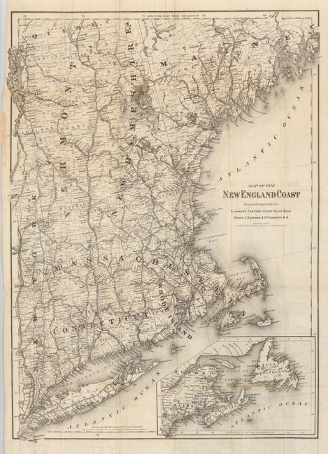
Subject: New England
Period: 1871 (dated)
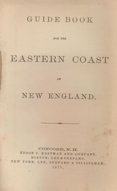
Publication: Guide Book for the Eastern Coast of New England
Color: Black & White
Size:
17.3 x 24 inches
43.9 x 61 cm
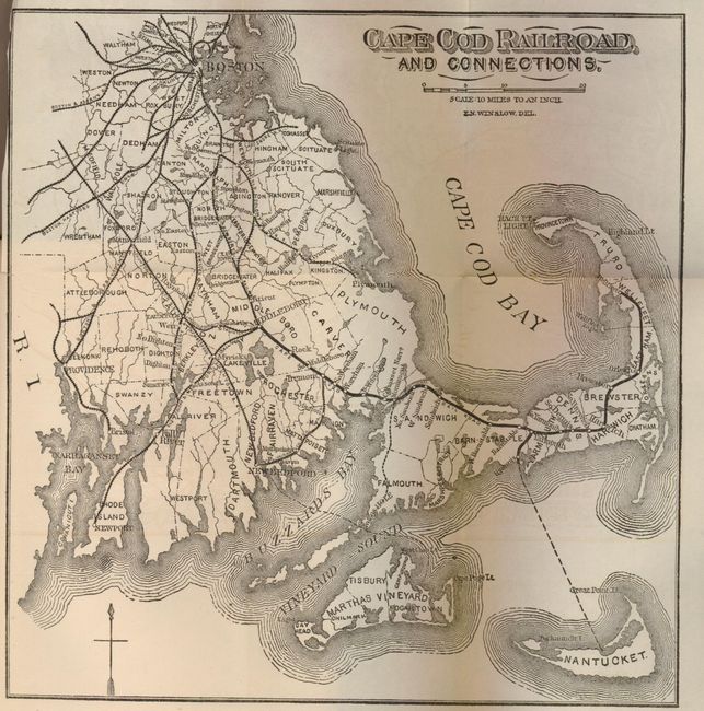
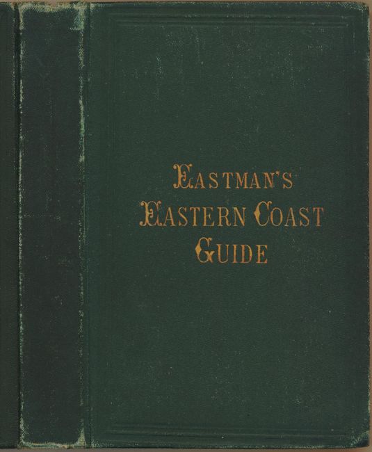
A folding map printed on fine banknote paper showing the area from Mount Desert Island in 'downeast' Maine south to Long Island, inset with a map of the Maritimes in Canada. The map extends west to the Hudson River and Lake Champlain. It is extremely detailed, with many towns, railways and roads named. It was prepared for this publication by the Coltons at 172 William St., N.Y. The map is laid in the Guide Book of the New England Coast, with 218 pages of text and an additional, small map of the Cape Cod Railroad and Connections (8 x 8.25"). Hardbound in green cloth with gilt stamped title of Eastman's Eastern Coast Guide (4.4 x 6.5").
References:
Condition: B+
The folding map is disbound. It is near fine with just one or two small spots, bright paper and strong impression. The covers and spine have a little shelf wear with edges bumped and more abrasion at edge of spine. Contents are fine except the first two pages are loose.