Catalog Archive
Auction 124, Lot 106

"Nova Scotia, Newfoundland &cc.", Cary, John
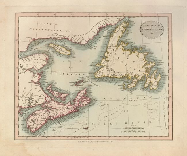
Subject: Canada

Period: 1816 (dated)

Publication:

Color: Hand Color

Size:
11 x 9 inches
27.9 x 22.9 cm
Download High Resolution Image
(or just click on image to launch the Zoom viewer)

Lovely early 19th century map centered on the Gulf of St. Laurence. Prince Edward Island is still named St. John's Island. The important fishing banks including Sable, Green, Whale, the Banquerrea, and the Great Bank of Newfoundland are located. Precisely engraved and finished with original pastel coloring. A pair of distance scales and a simple, oval title cartouche decorate the map.

References:

Condition: B+

A light damp stain in lower left corner, confined to the margins. Map image is near fine.

Estimate: $140 - $180

Sold for: $140

Closed on 5/7/2008

Archived