Subject: Canada
Period: 1814-15
Publication:
Color:
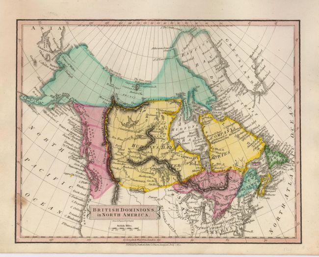
Very nice pair of crisply engraved maps of Canada and portions of the United States. The first, British Dominions, in North America (9 x 7") shows political divisions by use of vibrant hand coloring, and shows good watershed and topographical detail. In the west the provinces of New Georgia, New Hanover, and New Norfolk stretch between the Arctic regions and New Albion. Here the mapmaker claims the northwest region to the Columbia River for Britain. The map was drawn and engraved by J. Russell, and published by Nutthall, Fisher & Dixon, Liverpool, July 1, 1814. With a small spot on the left border, otherwise fine. Grade A.
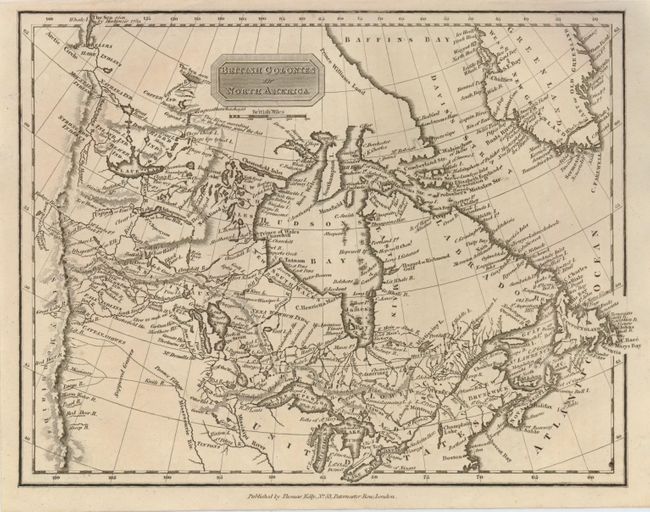
The second map, British Colonies in North America (9.6 x 7.5") is uncolored, but filled with place names as it stretches west to the Rocky Mountains. The map has good detail of watershed, including the "supposed courses" of several western rivers. Many Indian villages are noted. Thomas Kelly, London, c. 1815. Grade A+.
References:
Condition:
See descriptions.