Subject: United States and Canada
Period: 1857 (dated)
Publication: Atlas of United States &c.
Color: Hand Color
Size:
16 x 12.8 inches
40.6 x 32.5 cm
Nice set of attractive and detailed maps from this difficult to find atlas.
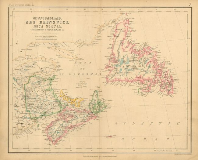
1) Newfoundland, New Brunswick, Nova Scotia, Cape Breton & Prince Edward Is. Edges with a couple small chips and a short centerfold split at bottom. Grade B+
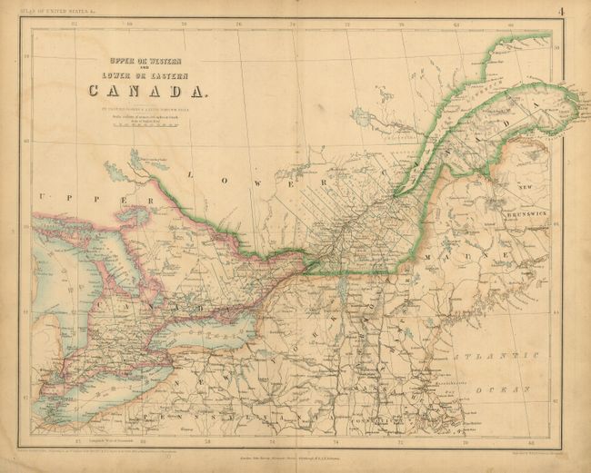
2) Upper or Western and Lower or Eastern Canada. Some offsetting and light soiling. A couple edge tears. Grade B.
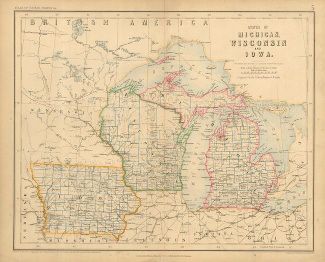
3) States of Michigan, Wisconsin and Iowa. Route of the proposed Pacific Railway shown in purple. Some marginal soiling and a centerfold split at bottom just entering border. Grade B.
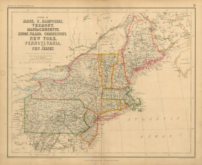
4) States of Maine, N. Hampshire, Vermont, Massachusetts, Rhode Island, Connecticut, New York, Pennsylvania, and New Jersey. Some marginal soiling and a centerfold split in bottom margin. Grade B.
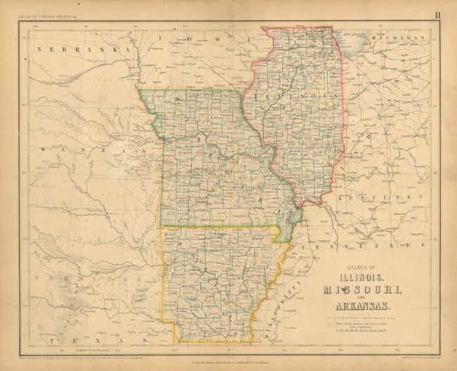
5) States of Illinois, Missouri, and Arkansas Some marginal soiling, a couple spots and a centerfold split at top and bottom. Grade B.
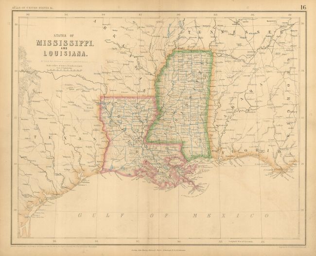
6) States of Mississippi and Louisiana. Light soiling. Grade B+.
References:
Condition:
See individual descriptions.


