Subject: Exploration and Surveys
Period: 1857 (dated)
Publication: Ex. Doc. No. 135, 34th Cong, 1st Sess.
Color: Black & White
Size:
9 x 11.5 inches
22.9 x 29.2 cm
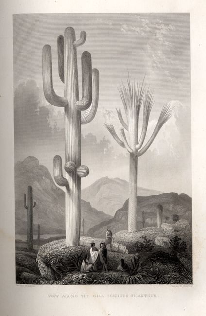
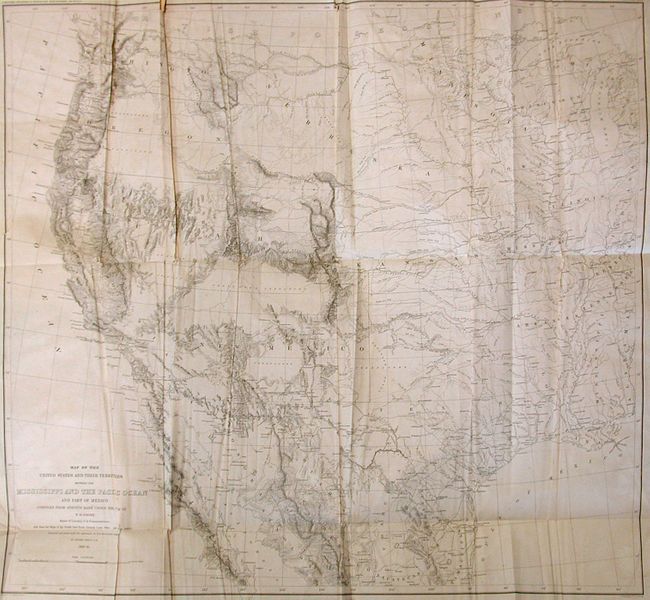
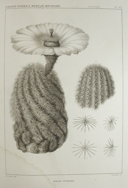
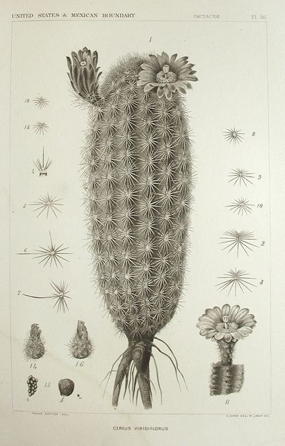
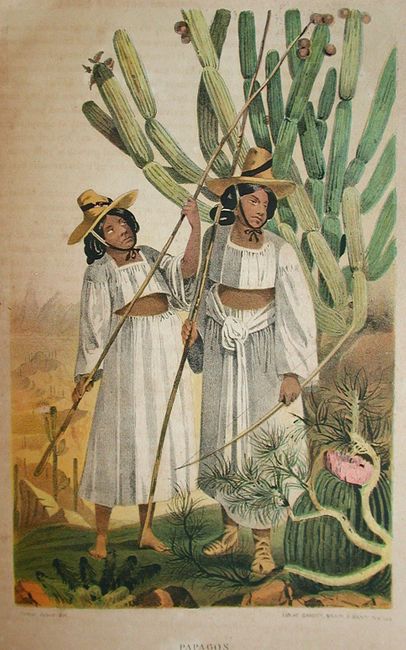
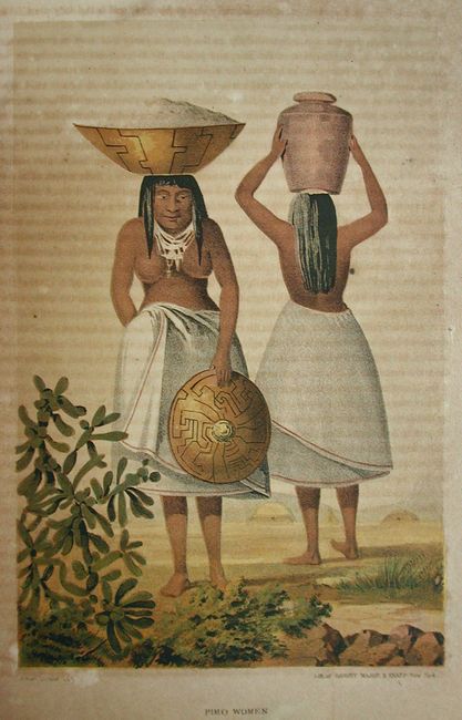
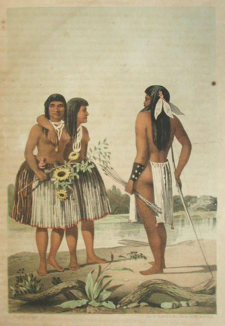
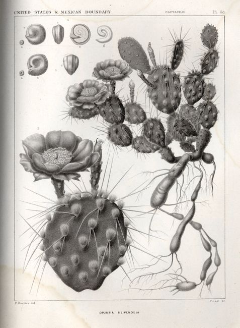
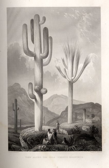
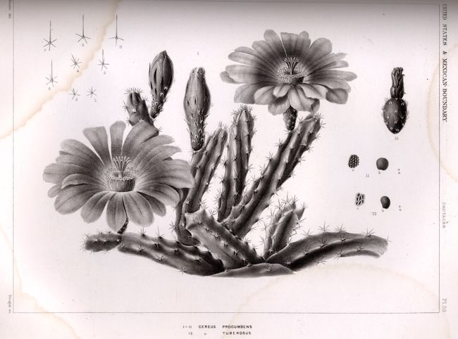
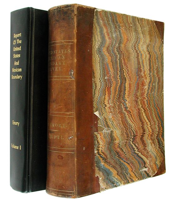
After the Treaty of Guadeloupe, Hidalgo (1848), which ended the war with Mexico, it was necessary to establish a boundary acceptable to both Mexico and the United States. The Mexican Boundary Survey was the result and it provided Americans with the first detailed description of their newly acquired territory. Vol. I. 174 pp., 26 engravings (some are colored lithographs) and 20 woodcuts, plus 20 stone lithographs of fossils. The frontispiece is a fine engraving of the Military Plaza - San Antonio, Texas. Vol. II Part I - 270 pp., Botany 61plates, Cacti 75 plates; Part II - 217 pp., Volume I contains the large, folding "Map of the United States and their Territories between the Mississippi and the Pacific Ocean and Part of Mexico" which has a binding tear that just reaches the neat line. Both are the House of Representatives editions, but are in unmatched bindings, with all engravings apparently present. First edition, 34th Congress, 1st Session, Ex. Doc. No. 135. Volume I is dated 1857, Volume II dated 1859.
References:
Condition: B
Unmatched bindings, Vol. I - 9 x 11.2", later binding; Vol. II - 9.5 x 11.2", original binding. Binding with scuffing and shelf wear. Contents generally good, both with some occasional toning and foxing, and some light water stains.