Subject: Atlases, United States, Canada, New York
Period: 1929 (dated)
Publication:
Color: Printed Color
Size:
9.3 x 13 inches
23.6 x 33 cm
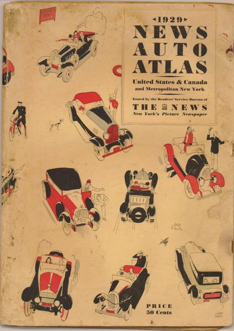
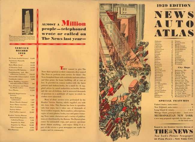
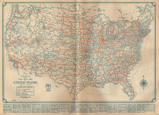
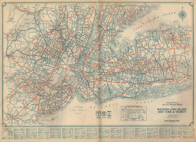
This is a terrific, early auto road atlas that was "Issued by the Readers' Service Bureau of The News, New York's Picture Newspaper". Each state has it's own map (17" x 12") that features the various highways in red overprinting. The legend locates paved roads, improved (gravel, stone) roads, graded roads, dirt roads, and roads under construction. Also describes how to recognize state highways and U.S. Interstate Highways, junctions, mileage, rivers and streams, ferries and boat lines, state parks, points of interest, and more. The last several pages are road maps for the vicinity of major cities including Boston, Baltimore, Philadelphia, Milwaukee, Detroit, New Orleans, and several more. Each map has a large and decorative compass rose. Folds into yellow pictorial wrappers promoting the News on one side. On the front cover are great art deco images of automobiles and people by Garrett Price, the illustrator best known for his New Yorker covers and cartoons. A deco-style drawing of New York City by Norman Kenyon adorns the inside cover. The images are an early testament to the developing car culture in America. Contains 48pp, mostly double-page state and city maps.
References:
Condition: A
The maps are very good. The outer covers have some soiling.