Subject: Atlases, North America
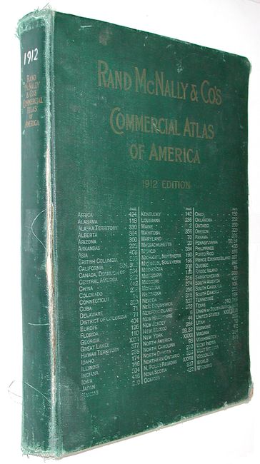
Period: 1912 (dated)
Publication:
Color: Printed Color
Size:
16 x 21 inches
40.6 x 53.3 cm
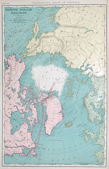
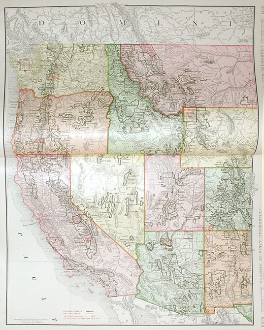
This large commercial atlas is filled with colorful maps that detail "all States and Territories in the United States, of the Dominion of Canada, The Republic of Mexico, Central America, the West Indies, Cuba, Porto Rico, Hawaii, The Philippines, Japan and China." It contains an amazing number of maps and city plans including some infrequently seen cities including Toledo and St. Paul. An interesting addition is the North polar region map that documents Robert Peary's trek to the North Pole in 1906. Table of contents inside front cover and again after title page. Exhaustive list of all railways and steamship lines in North America, Mexico, Cuba, Porto Rico and Hawaii. This complete folio atlas is hardbound in green cloth, 433pp. Gilt titles on spine and cover.
References:
Condition: A
The covers are worn and scuffed with a tear in cloth at spine and frayed corners. The maps and text are generally fine, and all signatures tight.