Subject: Atlases, France
Period: 1861 (dated)
Publication:
Color: Hand Color
Size:
15.2 x 20.5 inches
38.6 x 52.1 cm
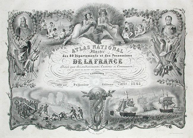
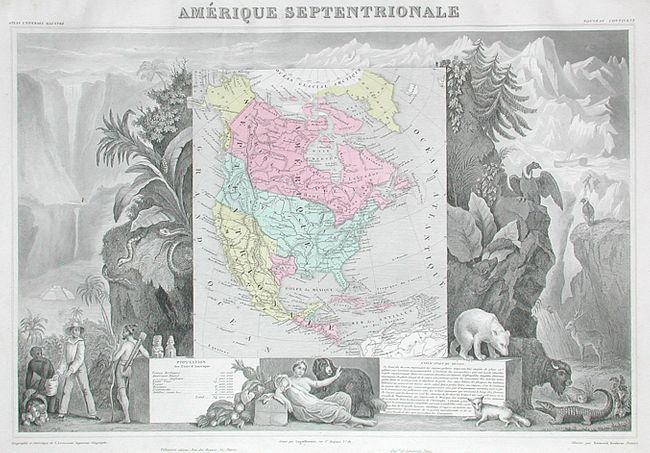
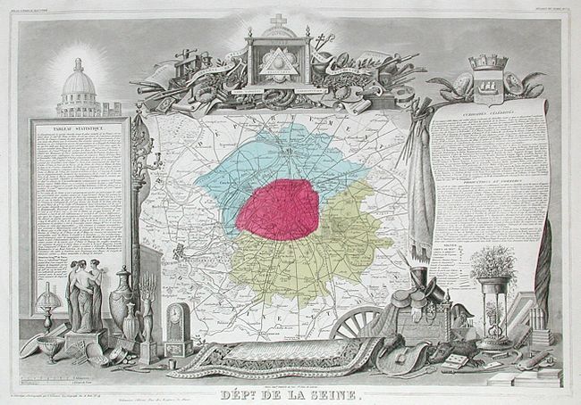
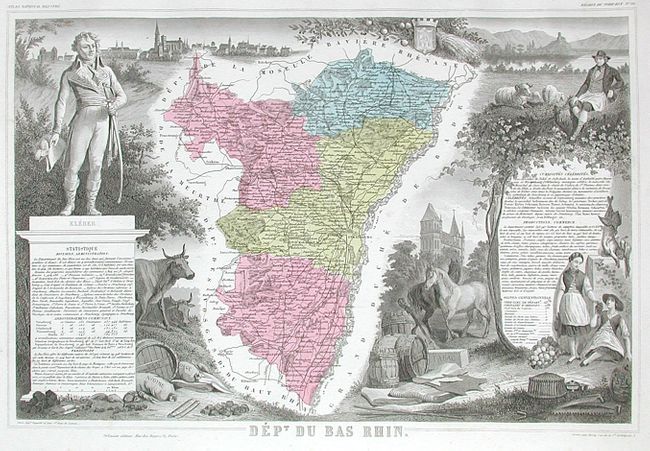
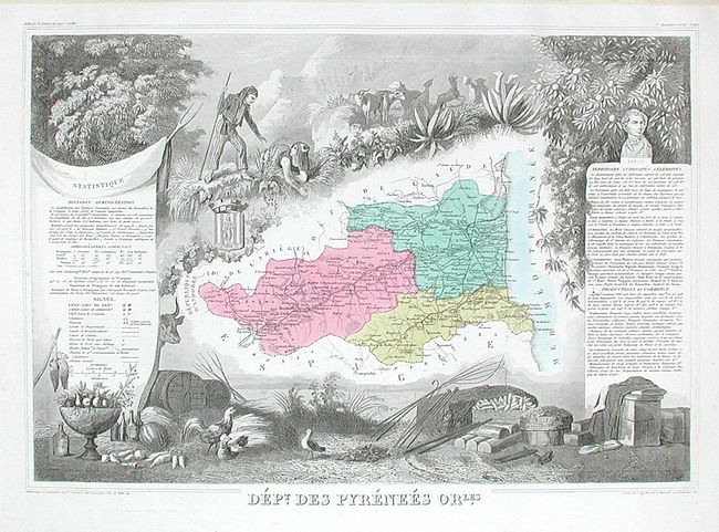
This was one of the last decorative atlases ever produced. The finely engraved title page, which sets the stage for the beautiful maps to follow, is made up of several vignettes depicting famous land and sea battles, a portrait of Napoleon I, children practicing the arts and sciences, and more. In addition to the individual French departments the atlas contains maps of the world and continents. Despite the date, the map of North America shows the independent Republic of Texas, and the Northwest extending well into Canada in a Fifty-four Forty or Fight border. France was an ally to the U.S. and supported their position in the border dispute with England. Six more maps show the French colonial possessions of the time and two others illustrate France as a whole. At the back are maps of the continents and Oceania. This fine and nearly complete atlas is filled with maps that have lovely decorated borders which relate to the region, including statistical information, regional products, famous local people, and places of interest. The binding is a premium issue with full original leather binding with raised spine and gilt titling on spine. Marbled end papers, engraved title page, 100 . Over the years the map of Africa and the contents page have gone missing. Nevertheless, a nice example of this increasingly difficult to obtain atlas.
References:
Condition: A
The maps are generally fine to very good, some with occasional light soiling or foxing. Covers and spine with just a little rubbing. The front cover and first few maps are starting.