Subject: Atlases
Period: 1850 (dated)
Publication:
Color: Hand Color
Size:
12.25 x 10.5 inches
31.1 x 26.7 cm
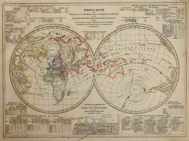
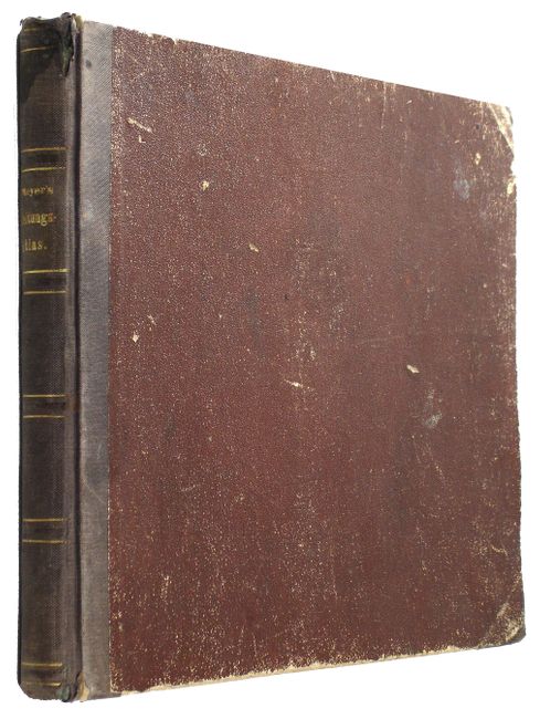
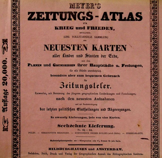
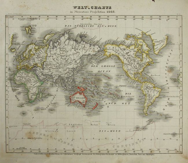
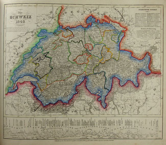
A complete example of this difficult to find atlas containing 80 maps, charts and diagrams that present their subjects in the typical German proficiency and craftsmanship. Nearly every map is hand colored in outline, with the celestial charts and the plan of London left uncolored. A majority of the maps feature insets of important cities, landmarks and local statistics. These finely engraved and superbly detailed maps were produced in numerous cities including Hildburghausen, Amsterdam, Philadelphia, Paris and New York, and are noted for their precision and accuracy. Original hardbound in pebbled brown paper over boards with quarter cloth spine and tips. Gilt title on spine.
References:
Condition: B
Maps have variable and scattered foxing and soiling. Covers are scuffed and bumped with shelf wear and roughness at upper spine.