Subject: Atlases
Period: 1846 (published)
Publication:
Color: Hand Color
Size:
13 x 17.7 inches
33 x 45 cm
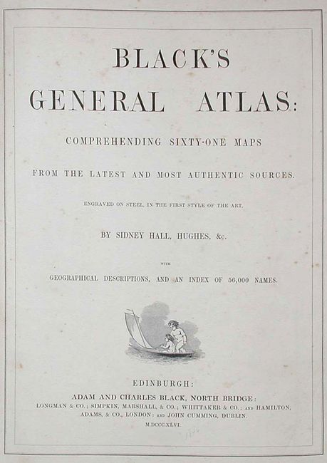
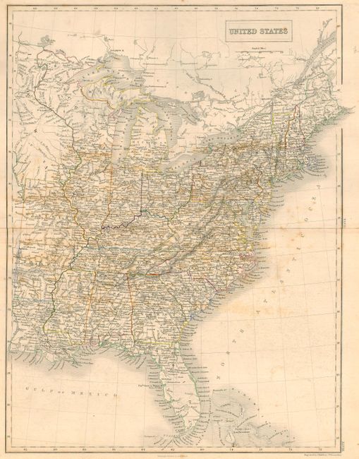
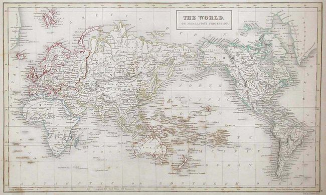
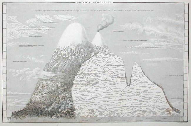
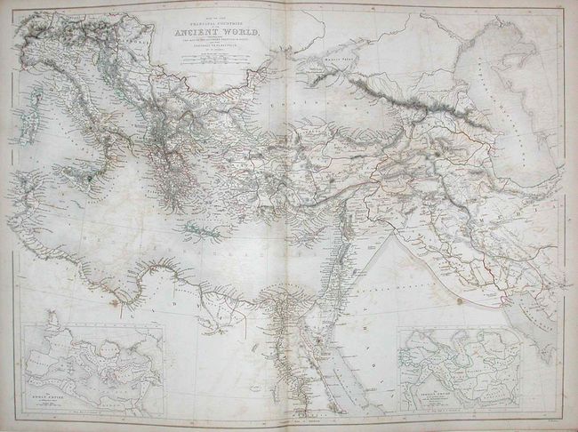
Title continues Comprehending Sixty-One Maps from the latest and most authentic sources. Engraved on Steel in the First Style of the Art. By Sidney Hall, Hughes, &c. with Geographical Descriptions, and an Index of 56,000 Names. Three maps of U.S. interest; "North America," "United States" covering the region east of the Mississippi and "Mexico" covering north to about 40° and east to Mississippi. The atlas is complete less #34 Hellas or Greece, and #41 Australasia. Hardbound, title page, contents, text, maps, index. Some great maps here, including a very nice New Zealand. Nearly all original tissue guards are in place. A great collection of hand colored maps or an atlas worthy of restoration.
References:
Condition: B
Covers detached, spine missing, and first two free end papers loose at front. Maps are generally foxed or toned. Three maps with short splits (Russia, Spain, U.S.), India and U.S. loose.