Subject: Atlases
Period: 1828-1833 (circa)
Publication:
Color: Hand Color
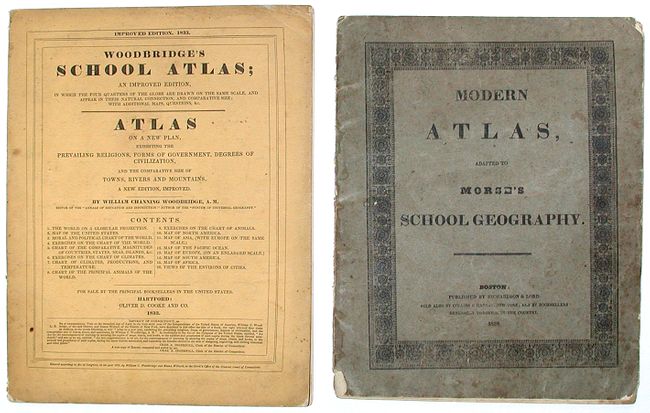
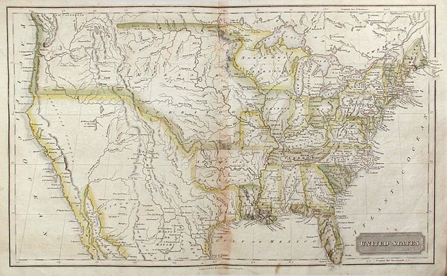
1) Morse's atlas has eight single page maps and a great double-page map of the United States which shows the Arkansaw Territory in its larger configuration. (See Phillips' Atlases #305). Published by Richardson and Lord. Boston. 1828 (9.3x11.5") 4to. Complete. Original softbound. Grade C+. Maps are disbound and have scattered foxing and light soiling. Covers soiled and worn.
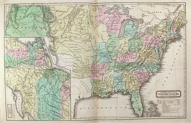
2) Woodbridge's atlas contains 9 single page and 2 double page maps. This example features a terrific, double page Geographical and Statistical Map of the United States that shows the Arkansaw Territory in its later, smaller configuration, and includes a large inset map; Northern Division of the United States that details the northeastern states from Maryland to Maine. Also included with this atlas is an interesting Moral and Political Chart of the Inhabited World… that divides the world into religious and political regions. Several notes and a key describe the populations, religions, governments and degrees of the various civilizations. Published by Oliver D. Cooke and Co., Hartford. 1833 (9.3x12"). Complete. 4to. Original paper covers. Grade B. Text and maps generally good with scattered foxing. Covers soiled and shelf-worn. Spine and binding tight and sound.
References:
Condition:
See individual descriptions.