Catalog Archive
Auction 120, Lot 710

"Bowles's New Pocket Map of the Land of Canaan, which God Promised to Abraham and his Seed, as Divided Among the Twelve Tribes of Israel", Bowles, Carrington
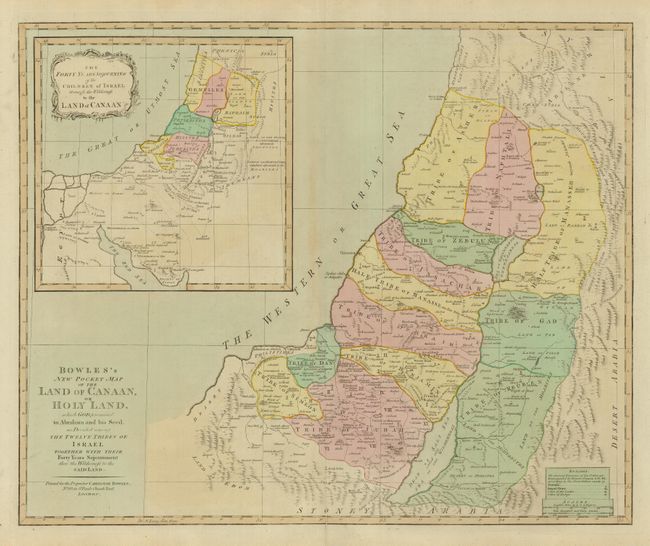
Subject: Holy Land

Period: 1780 (circa)

Publication:

Color: Hand Color

Size:
22.6 x 18.5 inches
57.4 x 47 cm
Download High Resolution Image
(or just click on image to launch the Zoom viewer)

This is a very uncommon map of the region. It illustrates the divisions among the twelve Tribes of Israel and covers the coastline from above Sidon to the Desert Land of Edom, south of Gaza. A large inset shows the wanderings of the Children of Israel. The cities of the Levites and the cities of refuge are located, and the divisions of the tribes according to the distribution made by Joshua are also noted.

References:

Condition: B

Nice impression and original color with faint toning on centerfold. Bottom fold separation just into map.

Estimate: $500 - $700

Sold for: $250

Closed on 7/18/2007

Archived