Catalog Archive
Auction 120, Lot 695

"Regnum Salomonicum Seu Tabula digesta ad Libros Iudicum, Regum, Paral, et Prophetarum per Eparchias…", de la Rue, Philippe
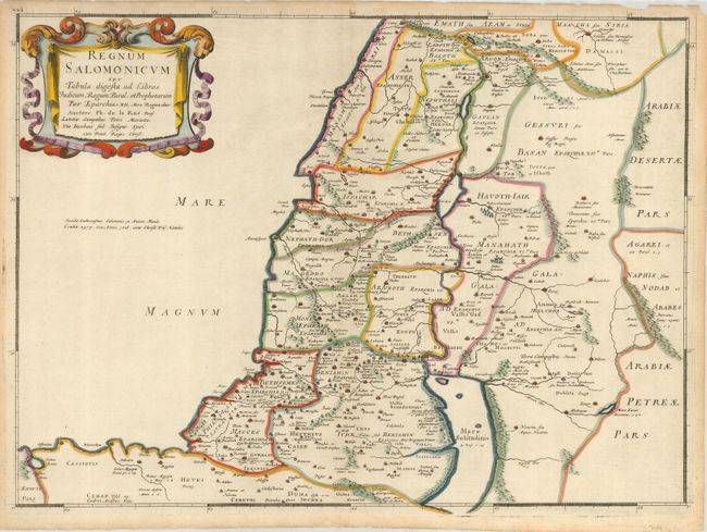
Subject: Holy Land

Period: 1651 (circa)

Publication:

Color: Hand Color

Size:
20.75 x 15.25 inches
52.7 x 38.7 cm
Download High Resolution Image
(or just click on image to launch the Zoom viewer)

This handsome map shows Palestine at its greatest extent, under the rule of King Solomon. It includes Damascus in the north and the entire region east of the Jordan River. The Mediterranean coastline is depicted from Sidon to Sirbon Lacus. Haifa Bay is enlarged and there is an imaginary bay south of Jaffa. The map is divided into twelve provinces.

References: Laor #417.

Condition: A

Some chipping of paper edges, just touching platemark in top margin, but not affecting map.

Estimate: $220 - $275

Sold for: $190

Closed on 7/18/2007

Archived