Catalog Archive
Auction 120, Lot 452

"Paskaart van't Noordelykste deel der Noort Zee Beginnende van der Neus, tot: Nova Zemla…", Keulen, Johannes van

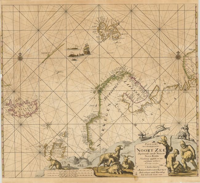
Subject: North Atlantic and Arctic Ocean

Period: 1680 (circa)

Publication:

Color: Hand Color

Size:
22.8 x 20 inches
57.9 x 50.8 cm
Download High Resolution Image
(or just click on image to launch the Zoom viewer)

Scarce sea chart covers Iceland, Spitzbergen, Nova Zembla, Northern Scotland, and Scandinavia with just a hint of Greenland's coast. The chart is beautifully adorned by a dramatic cartouche featuring scenes of hunting, with a man pursuing polar bears in a sled pulled by a reindeer. A pair of compass roses decorate the sea along with a dramatic whaling scene.

References:

Condition: C

Lovely impression with oxidized original color. There are a number of repaired tears in the map, with some chipping and paper weakness, and a small hole on the bottom centerfold.

Estimate: $800 - $1,200

Sold for: $650

Closed on 7/18/2007

Archived