Subject: Atlantic Ocean
Period: 1778-1860 (circa)
Publication:
Color:
A nice lot of maps featuring the Atlantic Ocean.
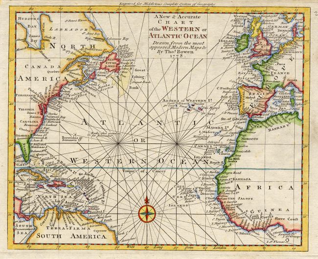
1) A New & Accurate Chart of the Western or Atlantic Ocean Drawn from the most approved Modern Maps &c by Thos. Bowen 1778, hand colored. (10.5 x 8.5")
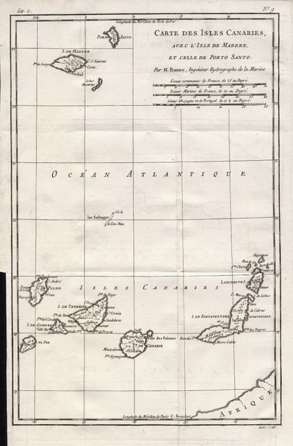
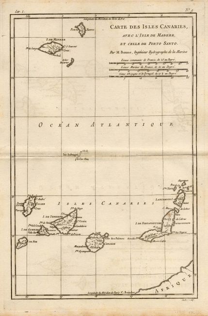
2) Carte des Isles Canaries, avec l'Isle de Madere, et Celle de Poro Santo. By Bonne, Paris, circa 1780, black and white. (8.3 x 12.5")
3) Carte des Isles Canaries, avec l'Isle de Madere, et Celle de Poro Santo. By Bonne, Paris, circa 1780, black and white. (8.3 x 12.5")
4) A New & Accurate Chart of the Western or Atlantic Ocean Drawn from the most approved Modern Maps &c by Thos. Bowen 1778, hand colored. (10.5 x 8.5")
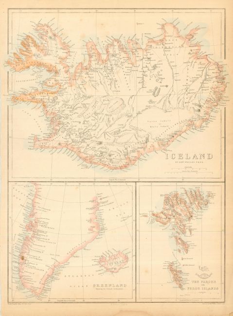
5) A sheet inset with maps of Iceland, Greenland, and The Faro Islands, from the Weekly Dispatch Atlas, published in London by Edward Weller. Original outline color, circa 1863. (12.3 x 16.6")
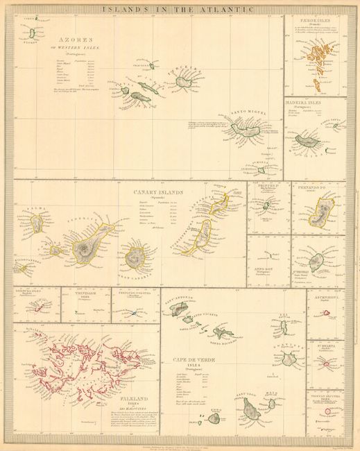
6) Islands in the Atlantic, for the SDUK, by Chapman & Hall, published in London, 1836. Sheet consisting of individual maps of the islands including the Azores, Faeroe, Madeira, Canary, Princes, Fernando Po, Anno Bon, St. Thomas, Cape de Verde, Bermuda, Trinidade, Fernando Noronha, Falkland, Ascension, St. Helena, and Tristan d'Acunha. Keyboard style border. Original outline color. (12.5 x 15.5")
References:
Condition: B
Some scattered stains and foxing.