Catalog Archive
Auction 120, Lot 35

"A New Map of the World on the Globular Projection", Mitchell, Samuel Augustus
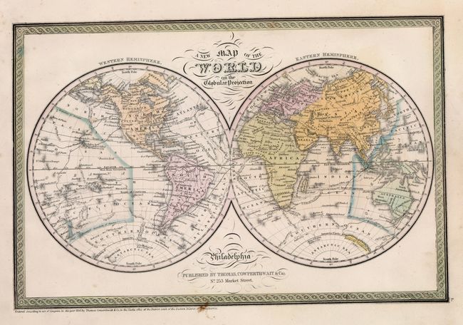
Subject: World

Period: 1850 (dated)

Publication: New Universal Atlas

Color: Hand Color

Size:
14.2 x 9.3 inches
36.1 x 23.6 cm
Download High Resolution Image
(or just click on image to launch the Zoom viewer)

This double hemispheric map details the major transportation routes, the track of historical explorers, large cities and limited watershed. Some of the continent of Antarctica is coming into view. Surrounded by the decorative border, hand colored in green, usually seen in Universal Atlas maps. Fancy titling.

References:

Condition: A

Very nice original coloring and full, wide margins. Just a couple of light foxing spots, still very good.

Estimate: $120 - $150

Sold for: $90

Closed on 7/18/2007

Archived