Subject: Colorado
Period: 1906 (dated)
Publication:
Color: Printed Color
Size:
39 x 28.5 inches
99.1 x 72.4 cm
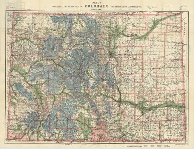
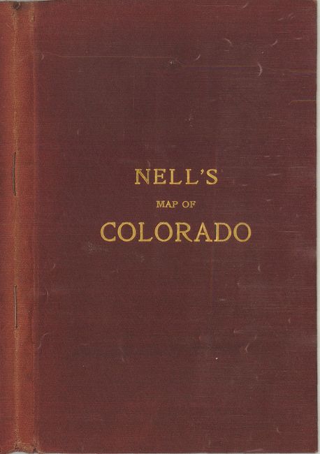
This fantastic pocket map contains an amazing amount of detail and information. The map is fully engraved with virtually no area left untouched by the engraver and is drawn on a scale of 10 miles per inch. Beautifully colored to indicate Forest Reserves (fourteen), agricultural lands, timber reserves, watershed and creeks, etc. Locates all towns, villages, settlements, mining areas, railroads, townships, and has contour lines at 1000' intervals. The map folds into red gilt stamped cloth covers and includes 12 pages of information on Colorado; populations, highest peaks, and the routes and distances of numerous railways. A rare issue in terrific condition.
References: Brown (Portolan - Spring 2019) pp. 47-53.
Condition: A+
The map is mint with just a couple of tiny fold intersection splits. The cover is sunned on spine.