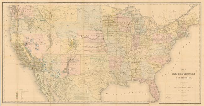
Subject: United States
Period: 1867 (dated)
Publication: Report of the Commissioner of General Land Office for the Year 1867
Color: Hand Color
Size:
54.8 x 28 inches
139.2 x 71.1 cm
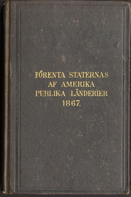
This map, in full original hand color, is one of the more remarkable maps produced by the General Land Office. It shows the extent of the Public Surveys just after the Civil War and includes many items of great interest. Most significant are the gold, silver, copper, and other mineral deposits that are color-coded to mark their location. The sites of army forts and posts provide an excellent view of the undeveloped territories and the western frontier. Details include land grants, townships, subdivisions, railroads, mining districts, etc. Present-day Wyoming is shown as part of the Dakota Territory. In the West, survey progress is still limited with much of Southern California complete, only small areas of New Mexico and Arizona complete, and with no surveys at all in Utah, Montana and Wyoming (here part of Dakota). The geological key also locates via color and icon deposits of quicksilver, iron, tin, asphalt, coal and oil springs that are shown scattered throughout the country. Constructed from Plats and Official Sources of the General Land Office under the direction of Hon. J.S. Wilson, Commissioner, by Joseph Gorlinski. Signed in the plate by Wilson. The General Land Office (GLO) was created in 1812 to oversee local land offices and in 1849 was incorporated into the Department of Interior. The map is the US edition, but was issued in the Swedish language report "Rapport Fran General Land-Kontoret fur Ar 1867" which is included. The report is hardbound in brown cloth with embossed gilt title on front cover. 8vo, 179pp, Washington D.C., 1879. Map is detached from the report.
References:
Condition: A
Map is clean and bright with full margins, a near fine example. One short split into map, closed on verso and a couple small intersection fold splits. Most fold intersections with archival tape on verso for support. Report has a little water spotting on cover, sunned spine that is a little frayed at top.