Subject: North America
Period: 1775-1850 (circa)
Publication:
Color:
Nice group of maps showing the variations in cartographic knowledge and development of territorial boundaries in the United States, some showing an independent Texas.
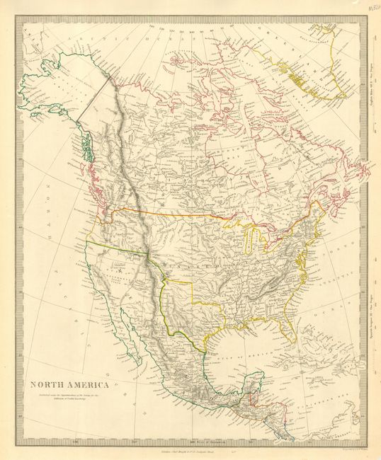
1) North America by the SDUK, London,1843. Detailed and finely engraved map portraying an Independent Texas and Mexico controlling Nueva California. The boundary between Canada and the United States is left uncolored, leaving the ownership of Oregon Territory (here labeled Columbia) unknown - which is unusual for a British map. Filled with well developed topography, the map names numerous forts, trading posts, Indian tribes and locates L. Youla roughly near the Great Salt Lake with the American Fur Depot on its eastern shore. The R. Buenaventura extends to the Pacific from two branches, one originating from a large swamp in the Great Basin. The course of the Snake River is fairly accurate, but the Colorado River originates too far north and rushes to the Sea of Cortez in a straight line. Locates the 3 buttes in present-day Idaho -- important landmarks on the Oregon Trail. Lake Michigan retains its erroneous elongated shape. Distance scales outside of border give English Miles and Spanish Leagues. Engraved by J. & C. Walker and published by Charles Knight. Original outline color (12 x 14.5").
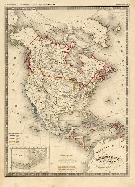
2) Amerique du Nord, dated 1846 with an independent Texas. Original outline color, anonymous (9.5 x 12.8").
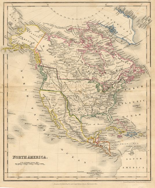
3) North America by J. Dower, London circa 1847. Original outline color (8.3 x 9.8").
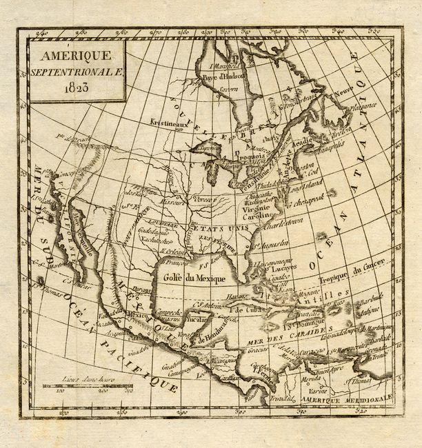
4) Amerique Septentrionale, dated 1823. Black and white copper engraving (5.8 x 5.8").
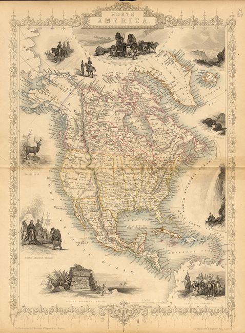
5) North America by John Tallis, and J. Rapkin, London 1851. Original outline color ( 9.5 x 13".
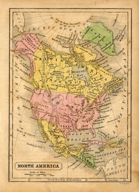
6) North America by G. W. Boynton, circa 1850, Boston. Original hand color (4.3 x 6.3") .
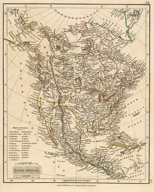
7) North America by A. & S. Arrowsmith, London circa 1830. Outline color (7.5 x 9.3").
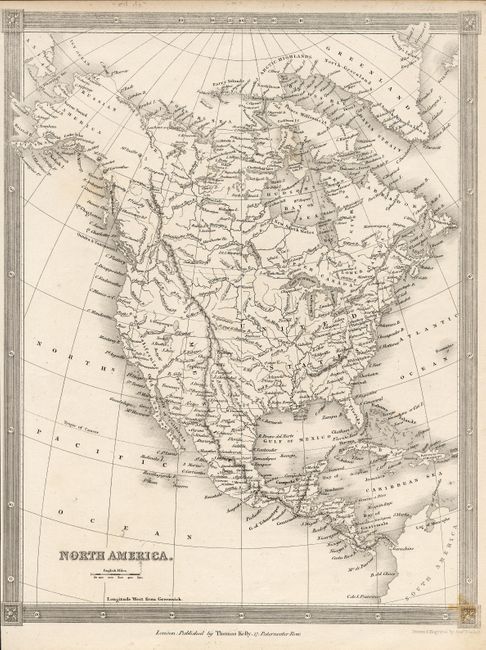
8) North America by Thomas Kelly, London circa 1835. Black and white (7.8 x 10").
9) North America by B. Shury, London dated 1826. Black and white. (8 x 10").
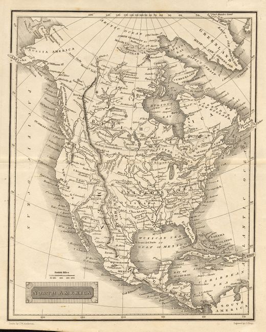
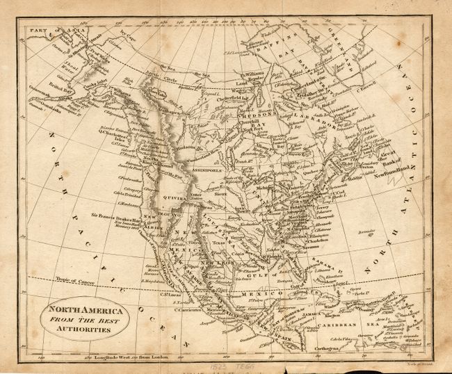
10) North America From the Best Authoritiescirca 1823. Anonymous, black and white (9 x 7.5").
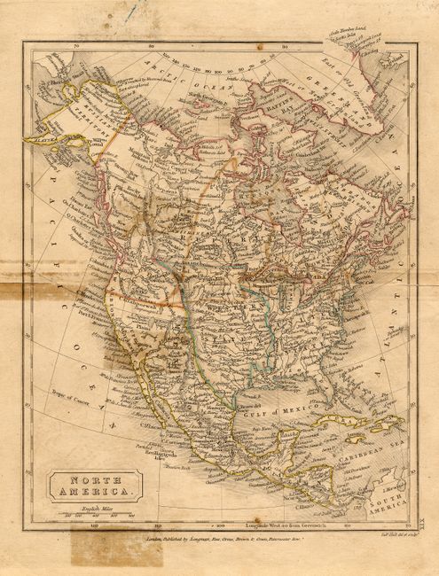
11) North America by S. Hall, London, circa 1828. Original outline color (7.3 x 9").
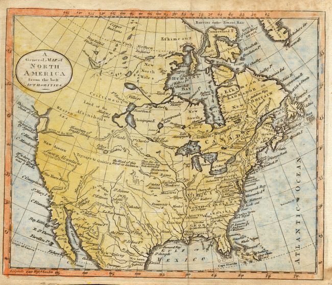
12) A General Map of North America from the best Authorities circa 1775 . Hand colored, anonymous (9 x 7.5").
References:
Condition: A
Most maps very good. Close margins map 8, stains and holes map 11.