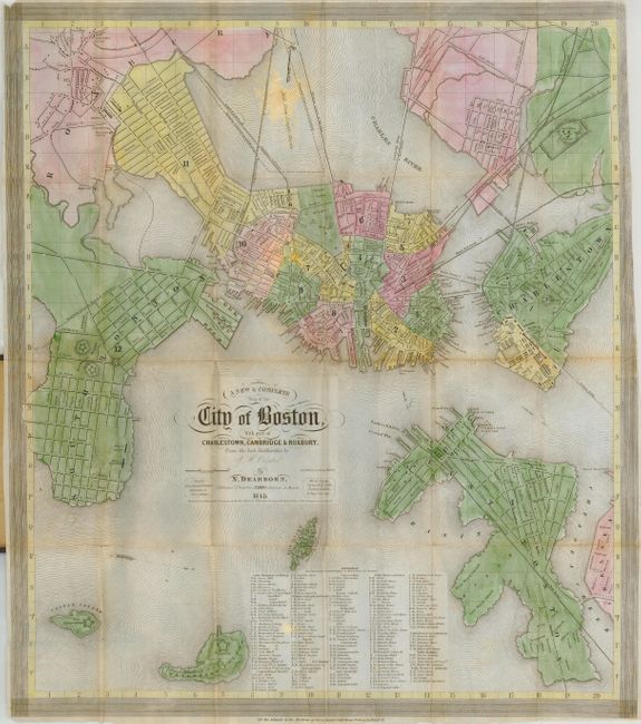
Subject: Massachusetts, Boston
Period: 1845 (dated)
Publication:
Color: Hand Color
Size:
15.5 x 18 inches
39.4 x 45.7 cm
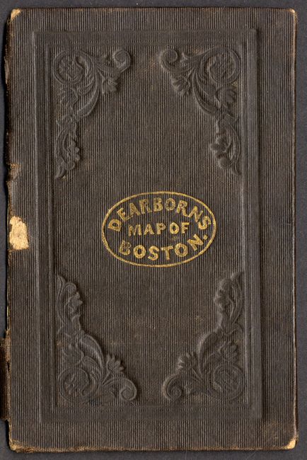
This charming plan of the old city is a finely engraved and very detailed example that shows the layout in a pleasant and easy to read fashion. Railroads are prominently shown, and feature miniature vignettes of trains chugging along the routes. The locations of several forts are also featured, and a list of references at bottom indicates where the visitor will find public buildings, churches, monuments, and taverns. Map folds into brown embossed cloth covers (3.3 x 5") with gilt title, Dearborns Map of Boston.
References:
Condition: B
Printed on banknote paper, with a couple tiny intersectional fold separations (closed with archival tape), a tiny piece missing from top left corner, and a couple of faint stains. Covers are worn and the front board is separated. Previous owner's notations in pencil inside front cover.