Catalog Archive
Auction 117, Lot 597

"Poloniae finitimarumque locorum descriptio Auctore Wenceslao Godreccio", Ortelius, Abraham

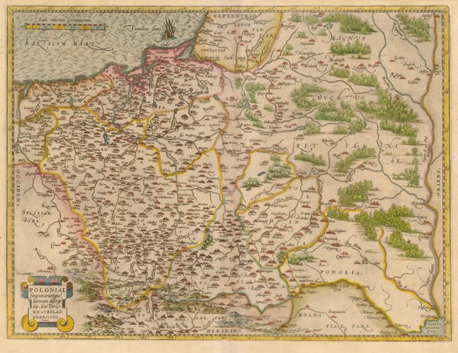
Subject: Eastern Europe - Poland

Period: 1584 (published)

Publication: Theatrum Orbis Terrarum

Color: Hand Color

Size:
19.5 x 14.5 inches
49.5 x 36.8 cm
Download High Resolution Image
(or just click on image to launch the Zoom viewer)

This is Ortelius' first map of the region, covering all of Poland plus extending into Lithuania and Russia in the north and to the Black Sea in the south. The map is based on the cartography of Grodecki (1558 & 1562), which was in turn based on the work of Wapovsky (1526). The map is filled with cities and the forests are boldly depicted. Latin text and a manuscript ink notation on verso.

References: Van den Broecke #154.

Condition: B

Margins slightly trimmed, but still adequate for framing. Toned on centerfold, with a tiny pin hole in map and a couple of filled worm holes in blank margin.

Estimate: $700 - $800

Sold for: $650

Closed on 12/6/2006

Archived