Catalog Archive
Auction 117, Lot 211

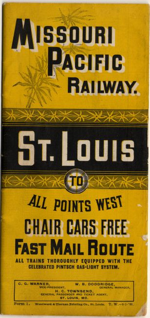
"Map of the Missouri Pacific and St. Louis, Iron Mountain and Southern Railways and Connections", Railroad Companies, (Various)

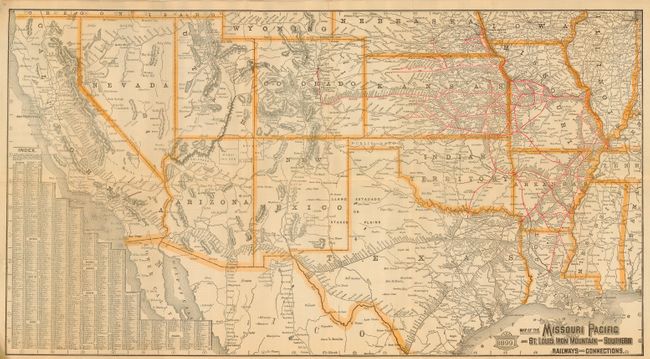
Subject: Southwestern United States

Period: 1899 (dated)

Publication:

Color: Printed Color

Size:
30 x 16.5 inches
76.2 x 41.9 cm
Download High Resolution Image
(or just click on image to launch the Zoom viewer)

This detailed map shows the railway network throughout the region from Chicago to Northern California and from the Gulf Coast to Southern California. The railroad lines are delineated in red with each station named. Index at lower left lists hundreds of stops. The map folds into railroad timetable format with title "Missouri Pacific Railway St. Louis to All Points West." There are 12 panels of timetables and a few for advertising. Printed by Woodward & Tiernan Printing, St. Louis.

References:

Condition: A

Folding map has one fold intersection split, otherwise is nice copy with full margins and no flaws.

Estimate: $150 - $200

Sold for: $190

Closed on 12/6/2006

Archived