Subject: Russia in Asia
Period: 1827 (published)
Publication: Atlas Universel
Color: Hand Color
Size:
20.5 x 17.3 inches
52.1 x 43.9 cm
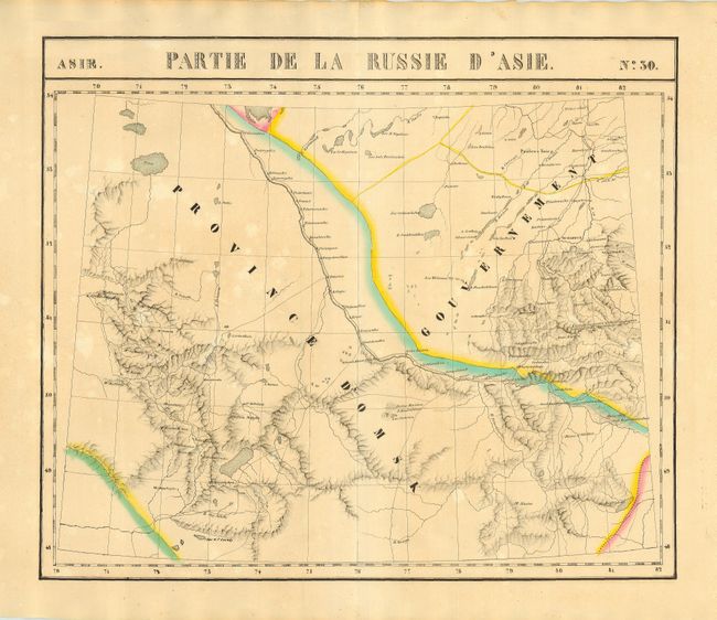
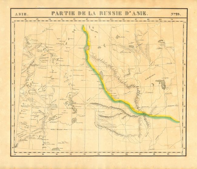
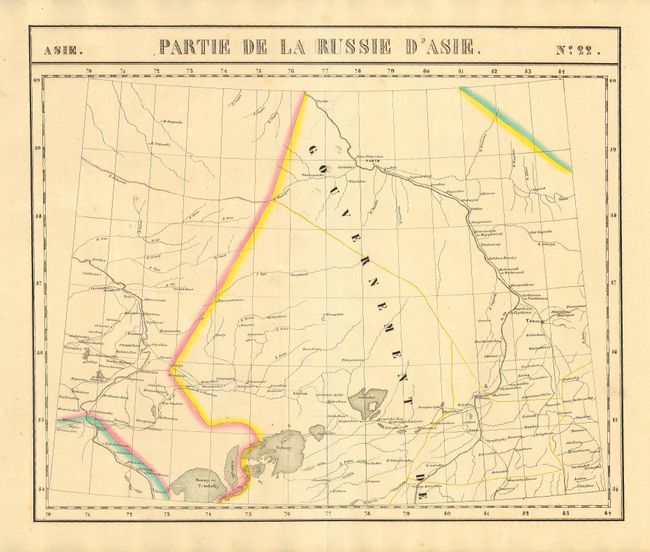
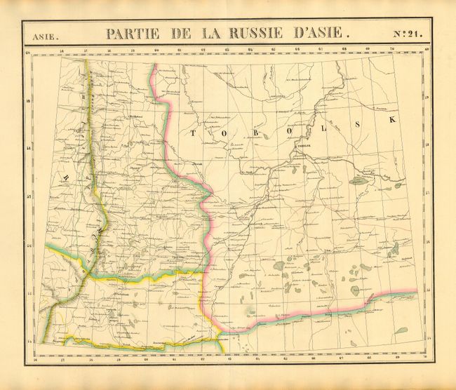
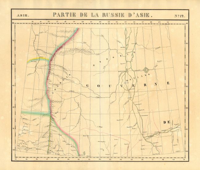
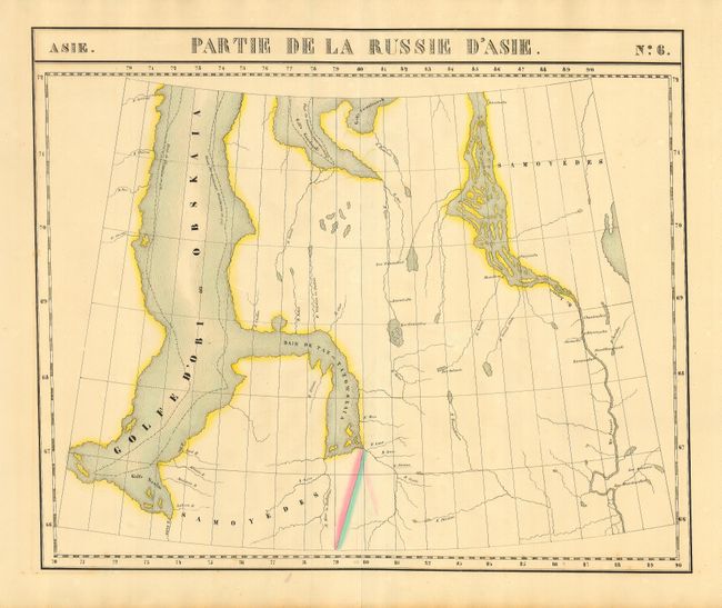
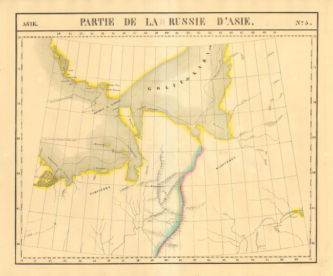
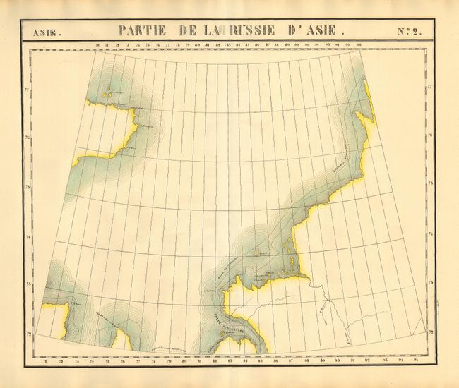
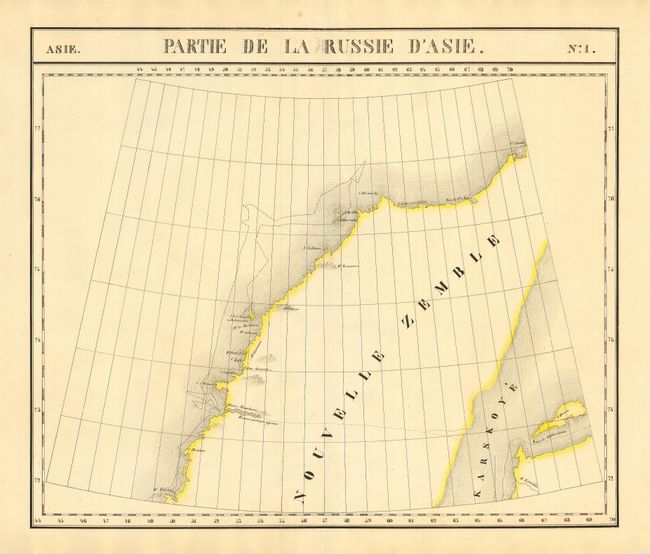
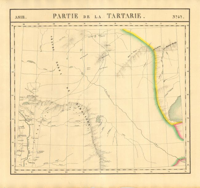
Group of eleven maps cover Asiatic Russia in minute detail. Partie de la Russie d'Asie: 1) No. 30. 2) No. 29. 3) No. 22. 4) No. 21. 5) No. 13. 6) No. 12. 7) No. 6. 8) No. 5. 9) No. 2. 10) No. 1. 11) Partie de la Tartarie. No. 42. These maps span the region between approximately 52° - 85° longitude and 45° - 77° N. latitude; from Novaya Zemlya and the Kara Sea through the Ural Mountain region to Kazakhstan. These were the first maps to provide such unprecedented detail of these remote regions.
The Atlas Universel was the first atlas to present all the maps on the same scale (1: 1,641,836), with each map covering an area of approximately 20 degrees longitude (from Paris) and 6 degrees of latitude. It is also considered to be the first lithographic atlas ever published. The maps were meant to be joined together to form a huge globe. There was only one edition of the atlas, published in 1825-27, and the subscription list shows that 810 copies were sold.
References:
Condition: B
Original color. A few with light foxing.